We Offer Land Mapping Solutio
Ujamaa Foundation is a Ugandan technology and social-impact firm founded in 2017. The firm delivers digital transformation, GIS Software, and community-based technology solutions, with a strong track record in land administration, land rights documentation, geospatial mapping and inclusive community development.

Ujamaa Foundation
About Us
We are a social enterprise dedicated to empowering communities through land documentation and rights awareness. Our mission is to create inclusive and equitable land ownership rights by providing comprehensive services that empower individuals and communities to legally document their land ownership. Through partnerships with local communities, the Ministry of Lands, local government, Area Land Councils and other stakeholders, we aim to foster a culture of transparency, accountability, and sustainable land management practices. We believe that by equipping communities with the knowledge and tools they need to navigate the complexities of land ownership, we can help them secure their rights, improve their livelihoods, and contribute to the overall development of their communities.
We prioritize supporting women, vulnerable groups, and pastoral communities, ensuring that their voices are heard and their land rights are protected. Through our innovative solutions and community-driven approach, we strive to create a more just and equitable land-ownership system where everyone has legal documentation over the land they call home.
Our Core Values
Equity and Inclusion for All
Empowering communities through equitable access to land rights and resources, ensuring that all voices regardless of gender, age and social appeal are heard and represented.
Community Empowerment
Fostering community-led initiatives that promote self-determination, resilience, and sustainable development through education and awareness of land rights.
Transparency and Innovation
Leveraging technology and creative solutions to enhance transparency, streamline land documentation processes, and improve access to information for all stakeholders.
Collaboration and Sustainability
Building partnerships with all stakeholders to create sustainable land management practices that benefit current and future generations.
Our Services
We offer a range of services aimed at empowering individuals and the community to realize the importance of technology tool in increasing access to social justice.
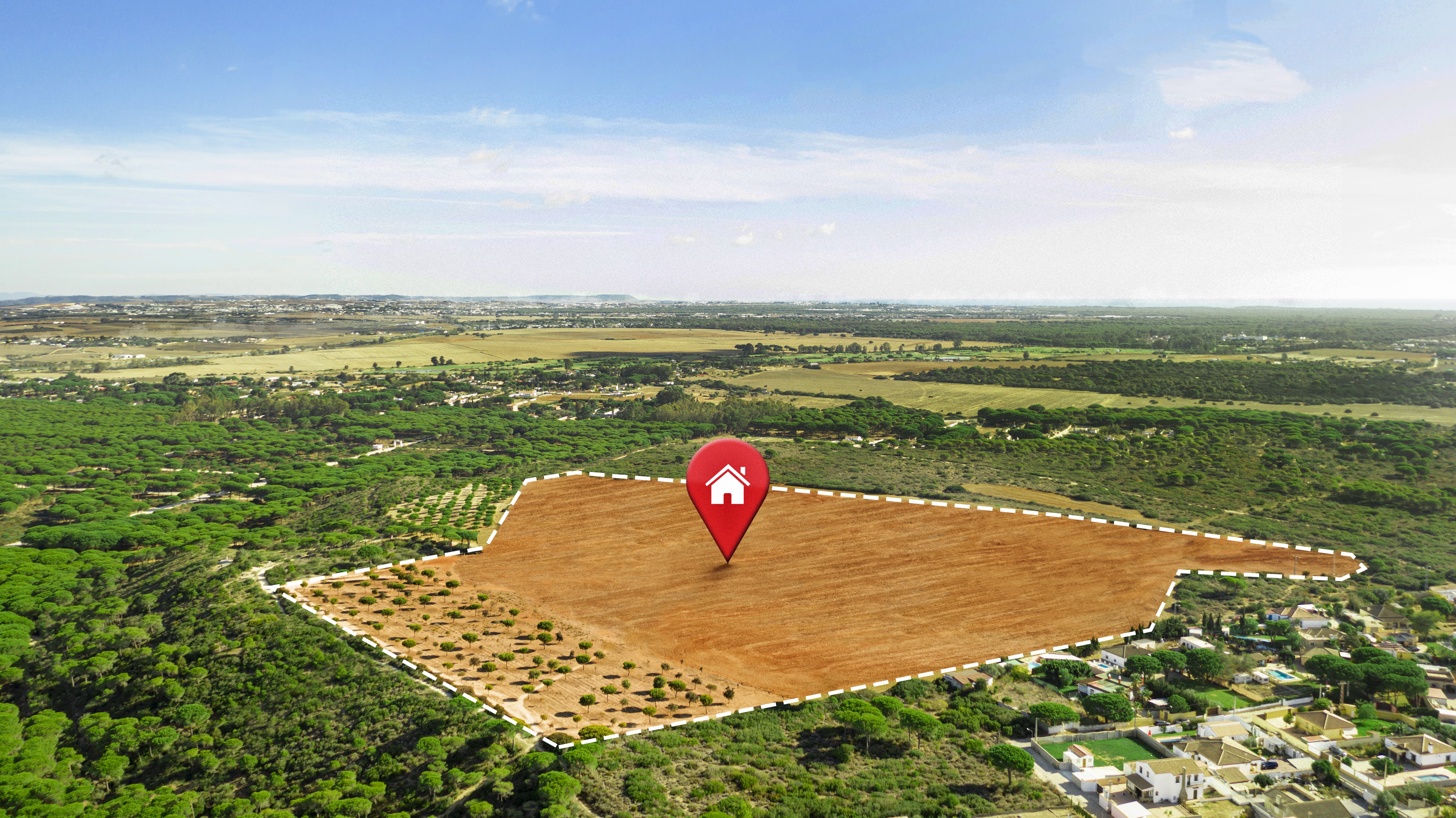
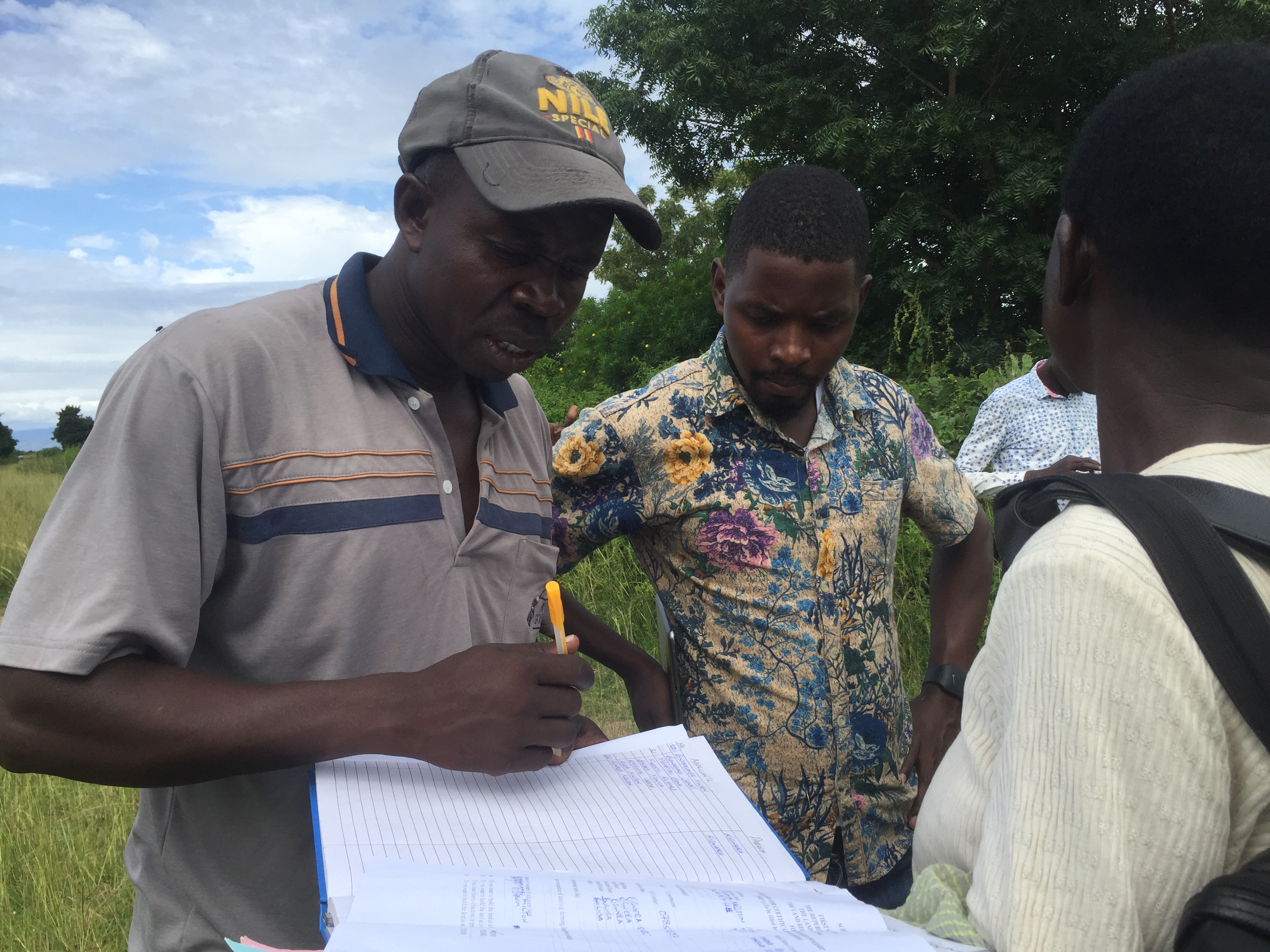
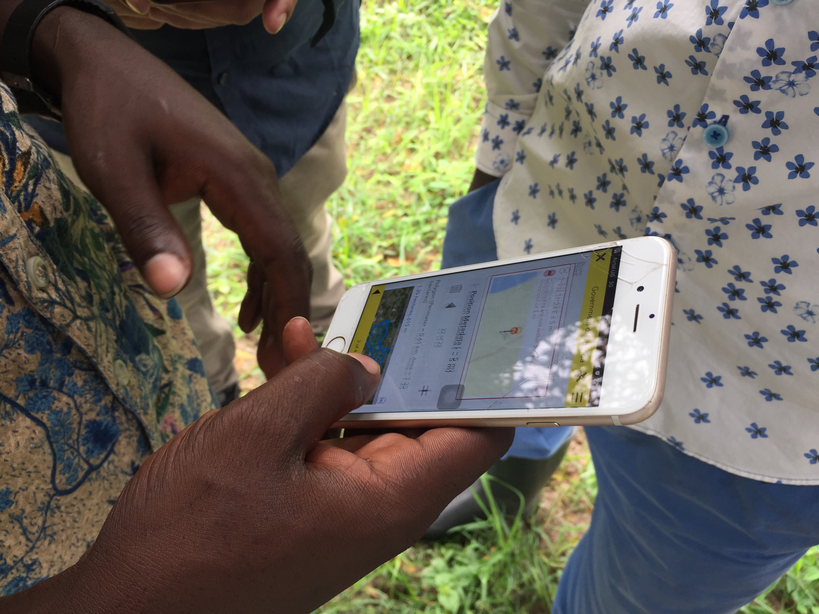
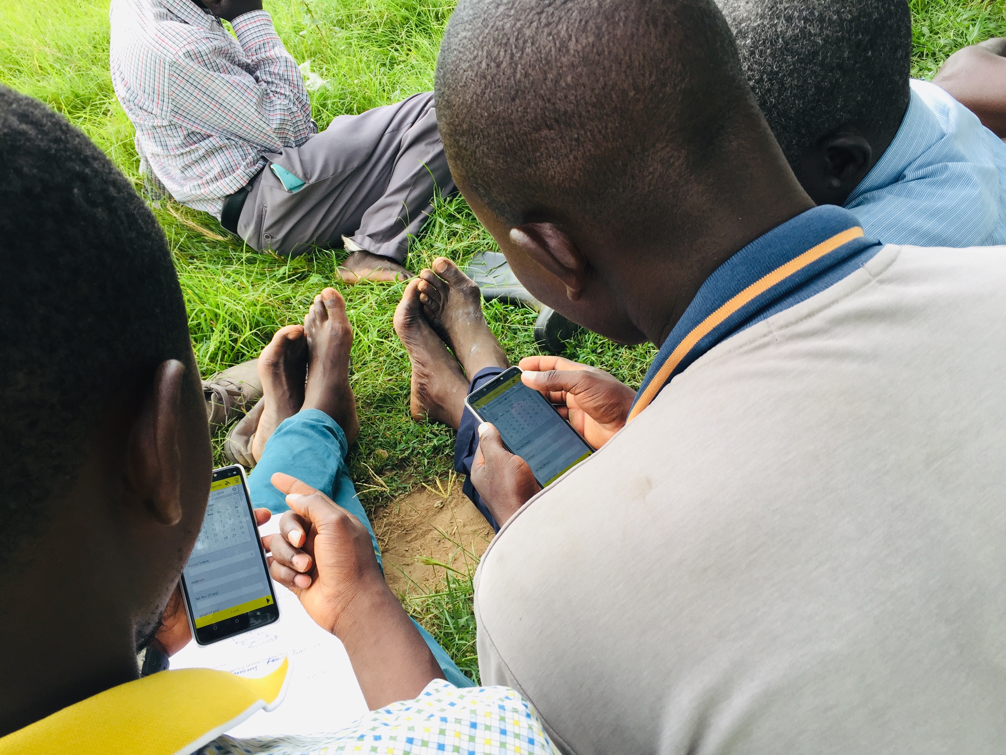
Land Mapping and Surveying
We offer professional services and tools tailored to support secure land ownership, development planning, and natural resource management.

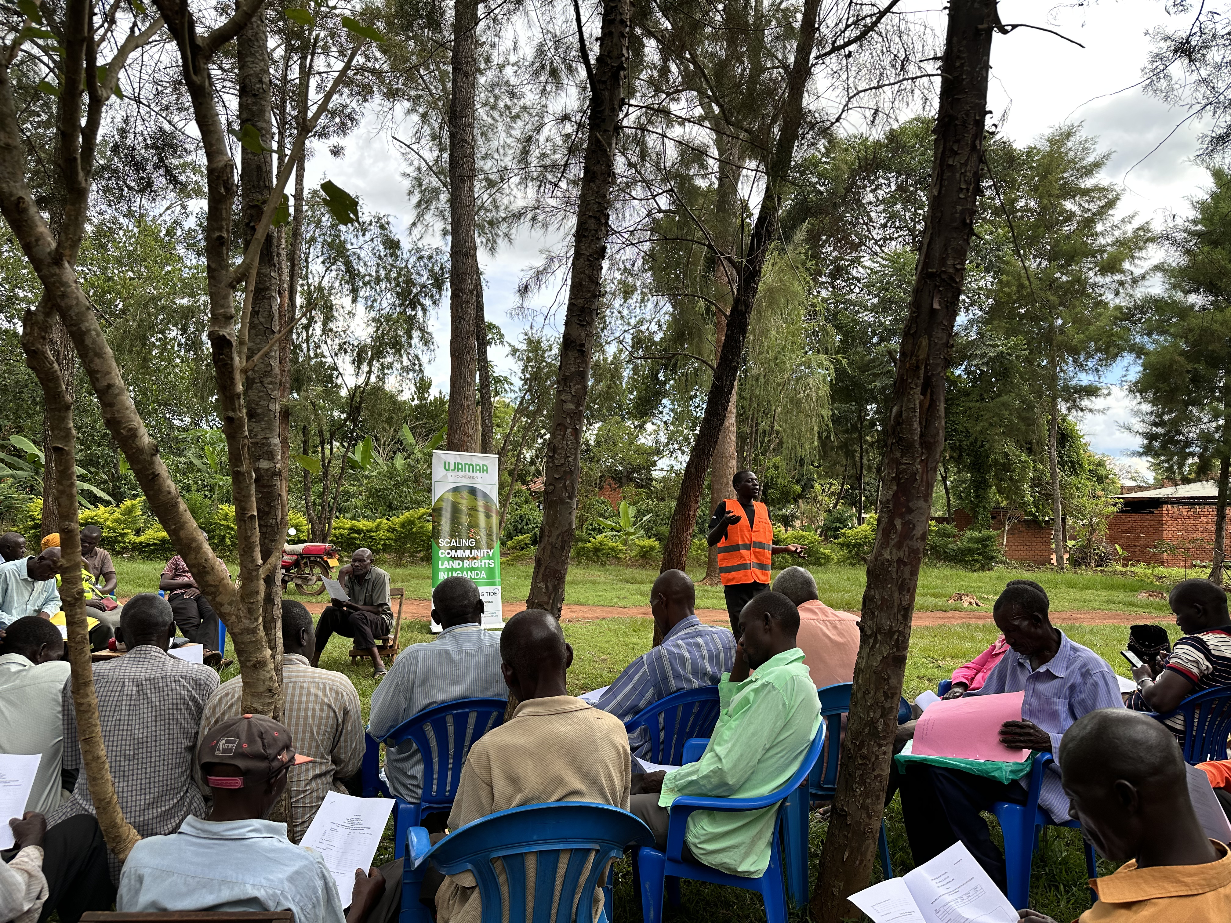
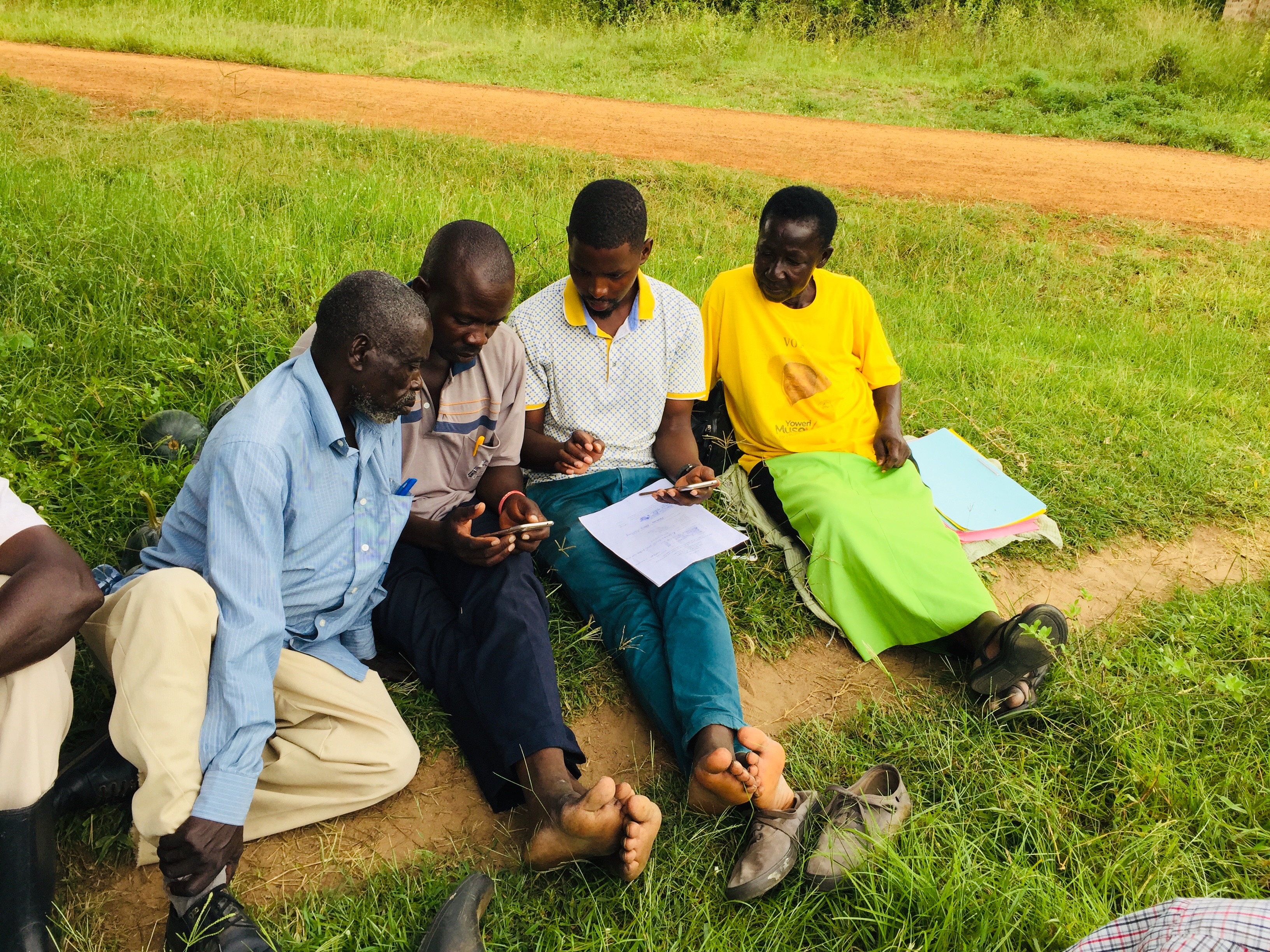
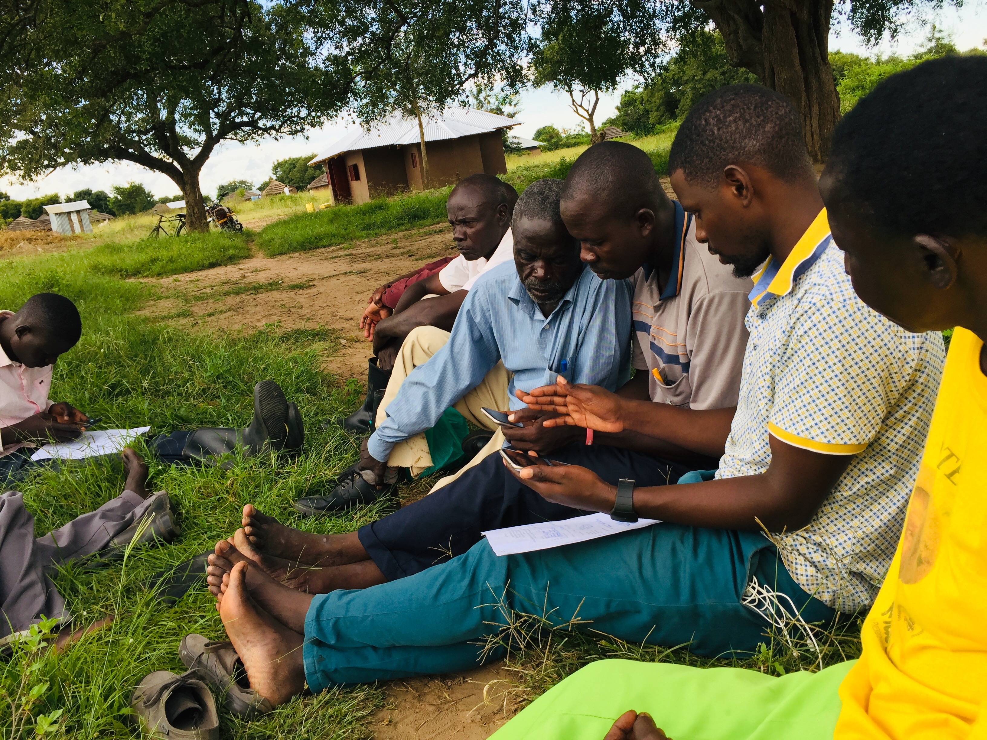
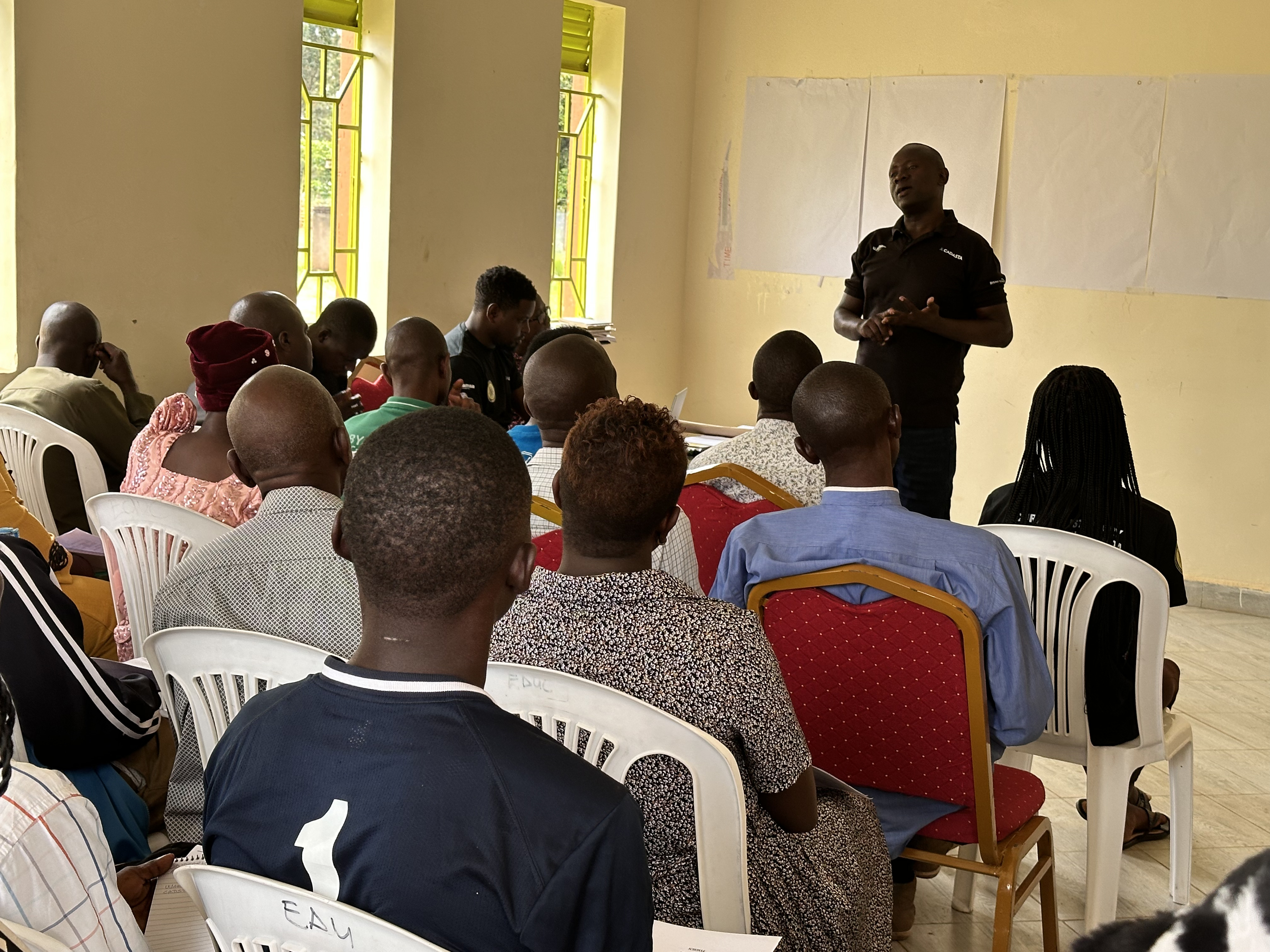
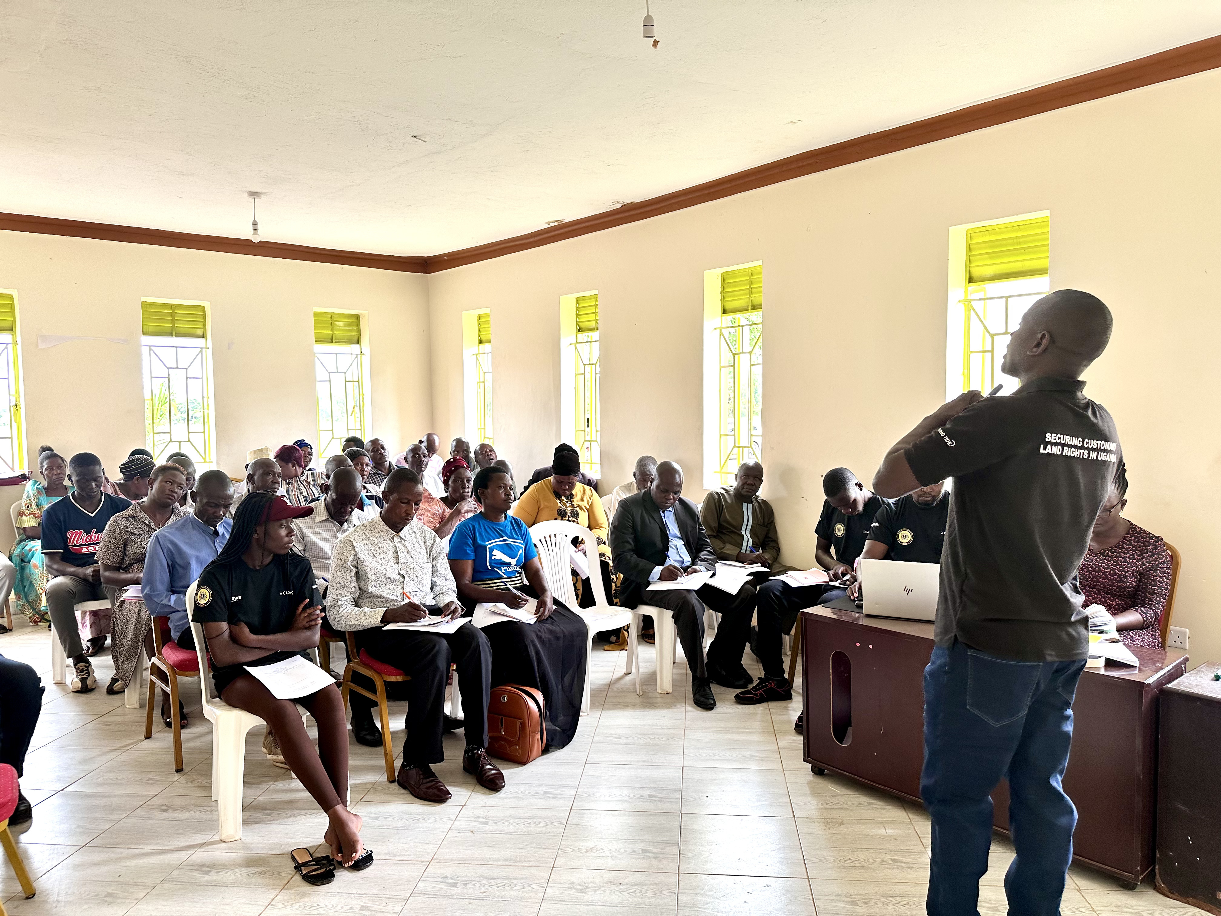
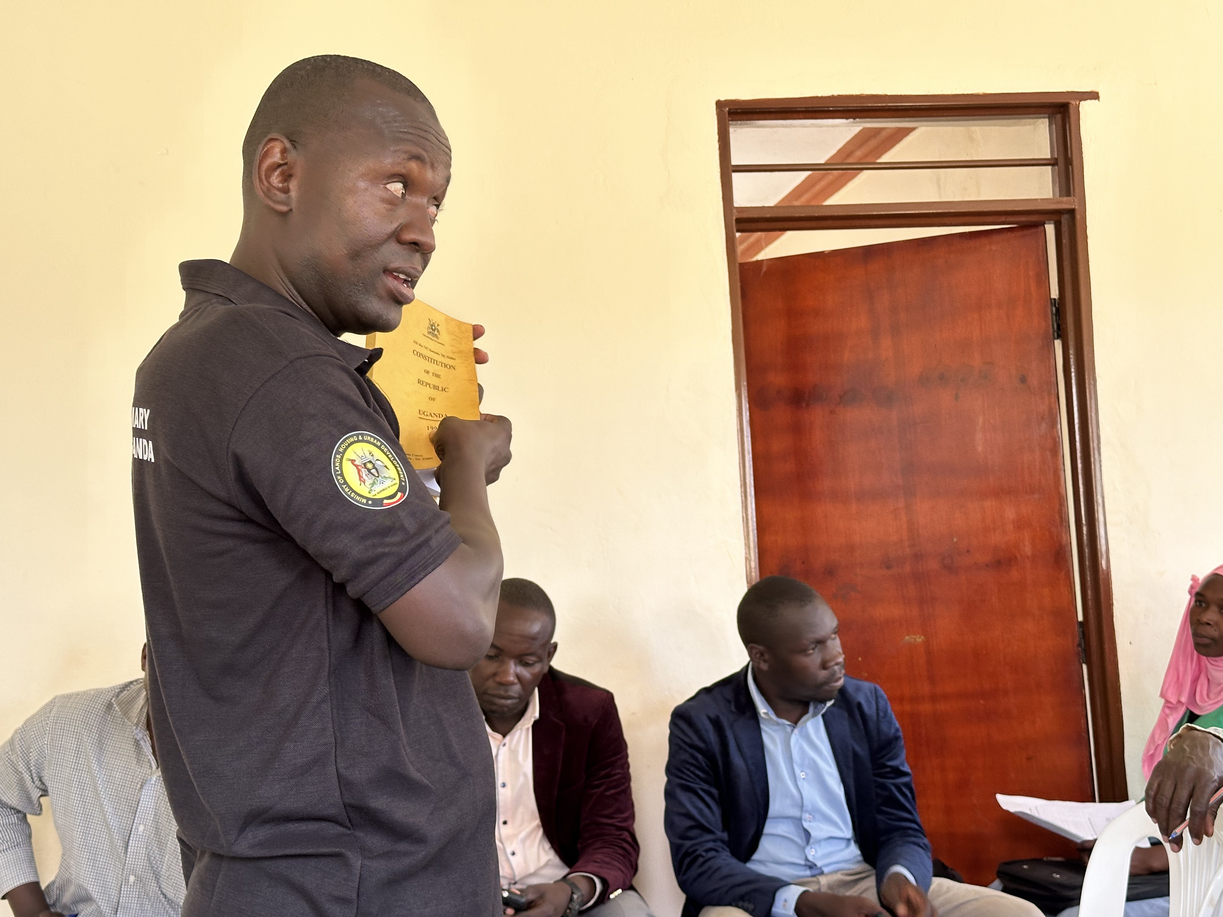
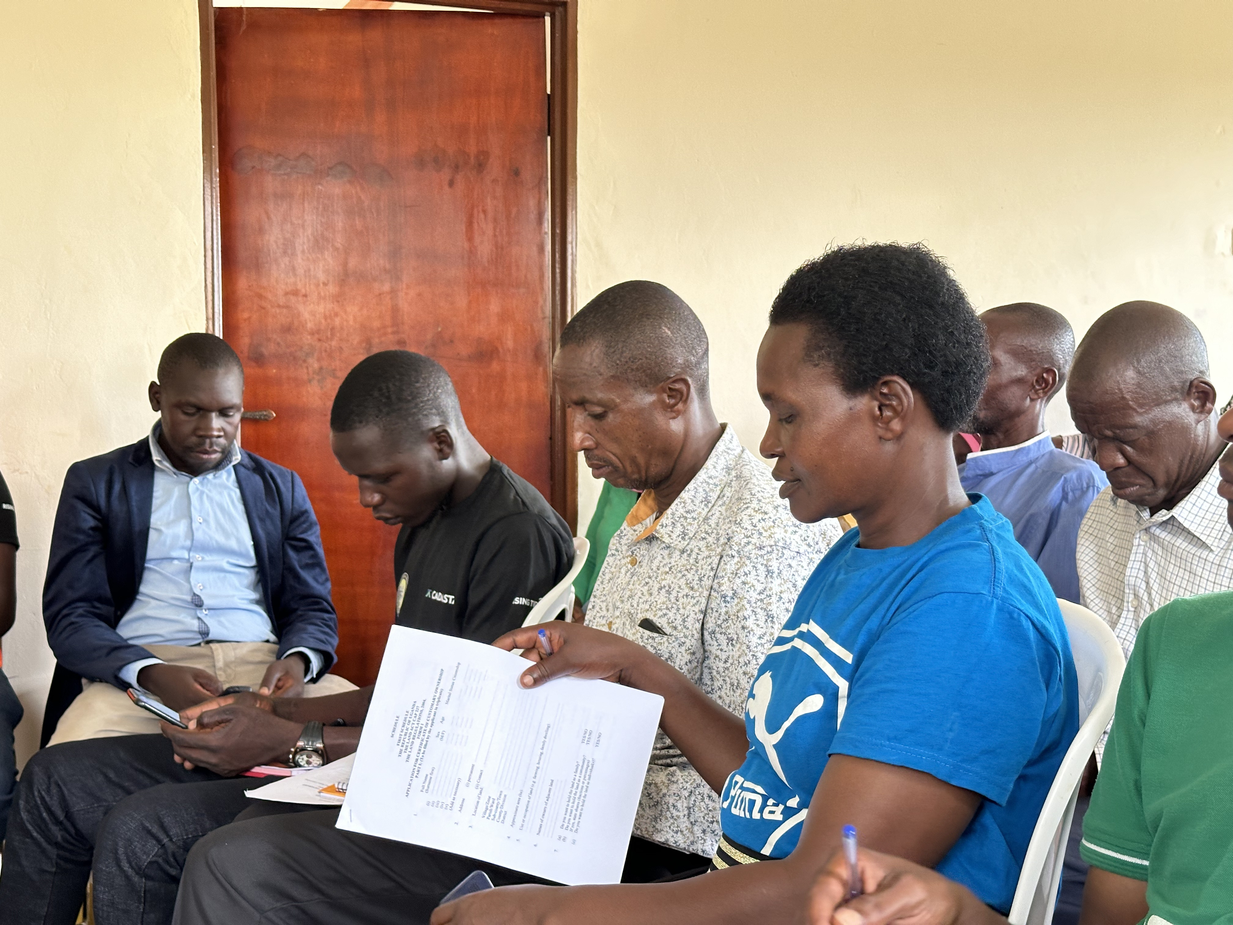
Community Land Rights Trainings
Our programs are designed to equip individuals, families, and local leaders with the knowledge they need to understand, protect, and assert their rights to land.

Technical Support for Organizations
We provide technical support to organizations working in land rights and land-related dispute resolution, helping them accurately map and survey land.
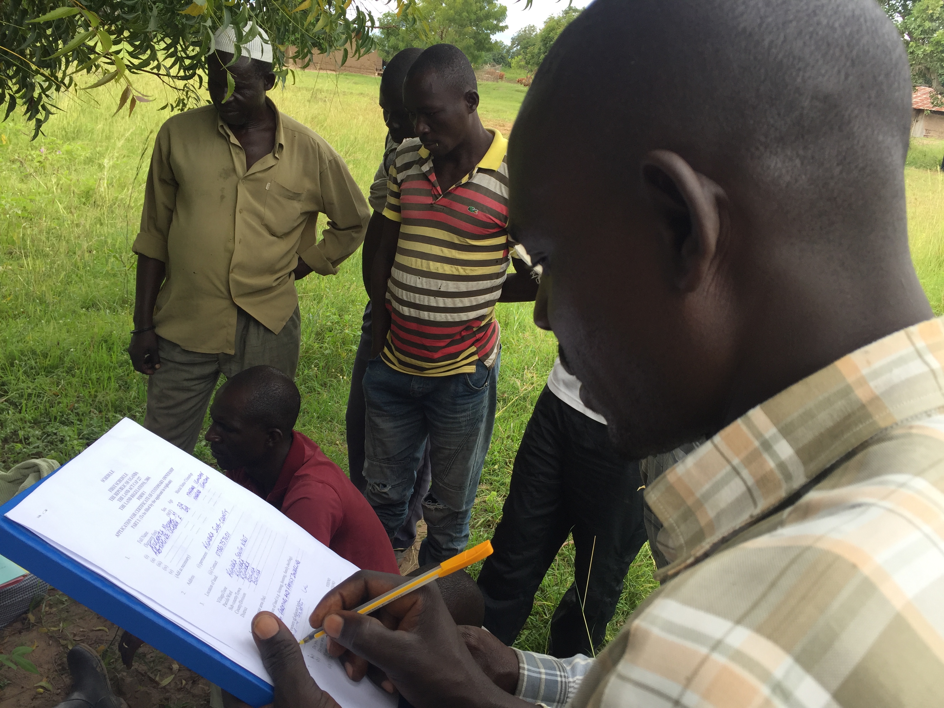
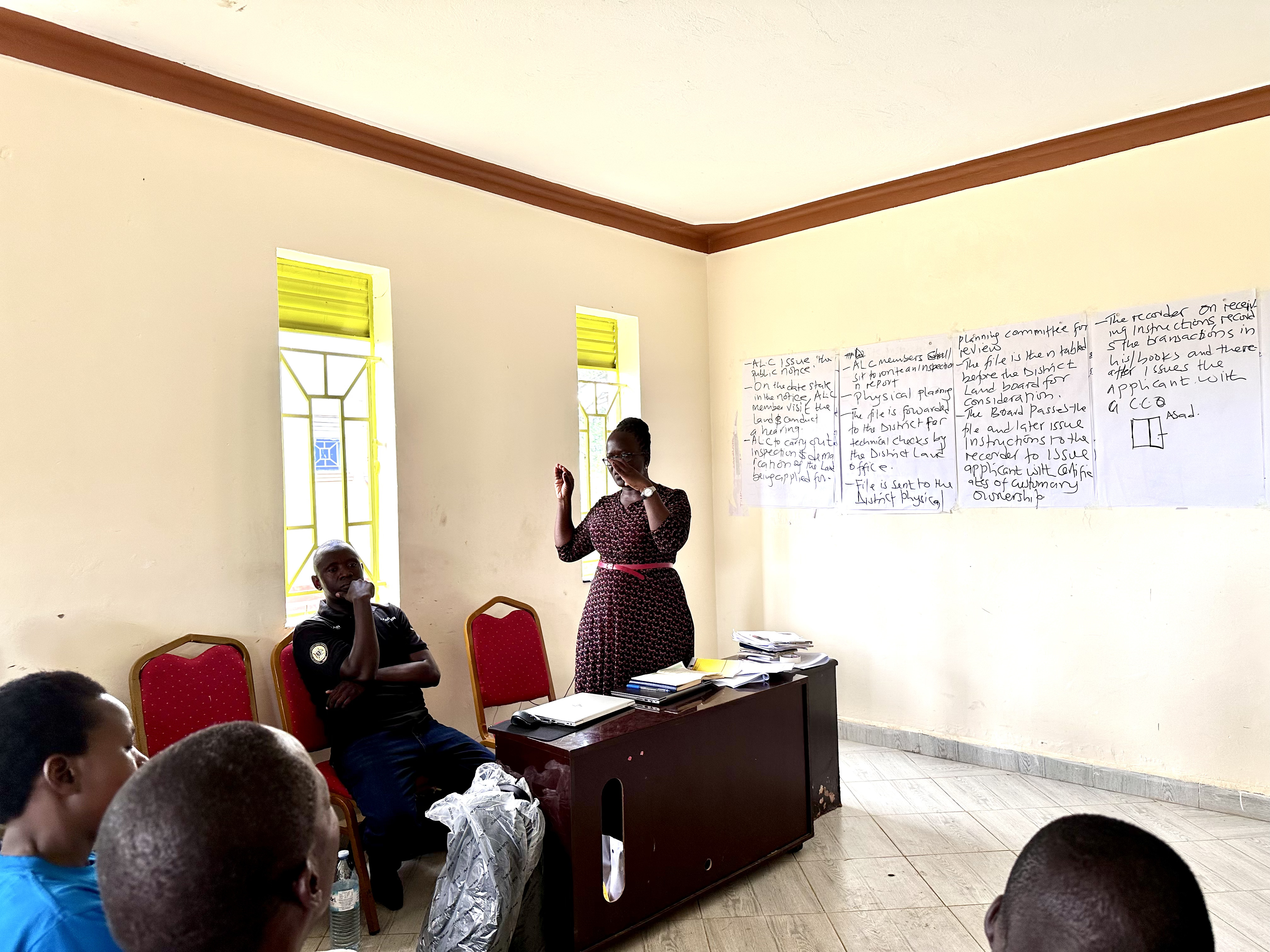
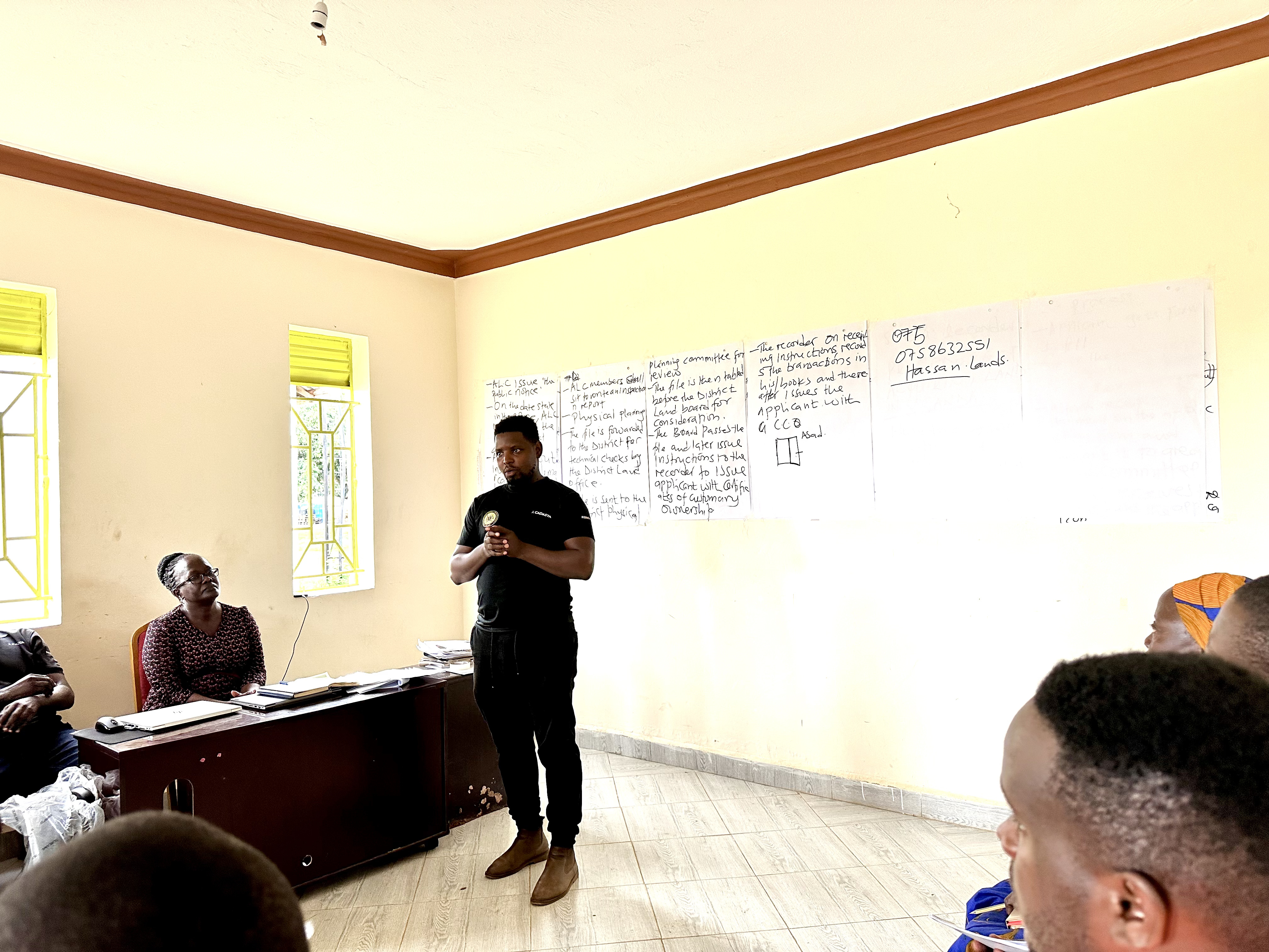
Land Registration and Administration
We provide expert coordination and management of land registration and administration projects to avoid any future conflicts.
Our Impact
Through our dedicated efforts and community partnerships, we have achieved significant milestones in land documentation and rights awareness across multiple districts.
Hectares of Land
Total land area successfully surveyed and documented
Awarded Certificates
Land ownership certificates successfully issued
Districts Covered
Geographic regions where we operate and serve
Individuals Secured
People who obtained legal land documentation
Our Partners
We collaborate with leading organizations and institutions to deliver innovative solutions and drive meaningful impact in our communities.

Featured Case-study Projects
Discover some of our impactful projects that leverage technology to create positive change and empower communities across Uganda and beyond.
Scaling community land rights in Uganda
Empowering communities through secure land tenure documentation and mapping technologies to protect land rights and improve livelihoods.
Mapping and registration of customary land
Training youth in digital skills to enhance employability and entrepreneurship opportunities in the tech industry.

Contact Us
Interested in our land mapping solutions, digital skills training, or custom software development?
Contact us and we will be ready to serve you there and then.