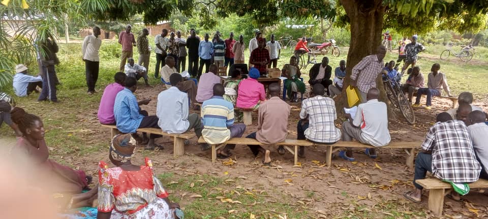
Our Key Projects
Discover how we leverage technology and community engagement to create lasting impact in land rights documentation, digital skills development, and organizational capacity building across Uganda and beyond.
Featured Projects
Explore our impactful initiatives that combine innovative technology solutions with community-centered approaches to address critical challenges in land rights, digital literacy, and organizational development.
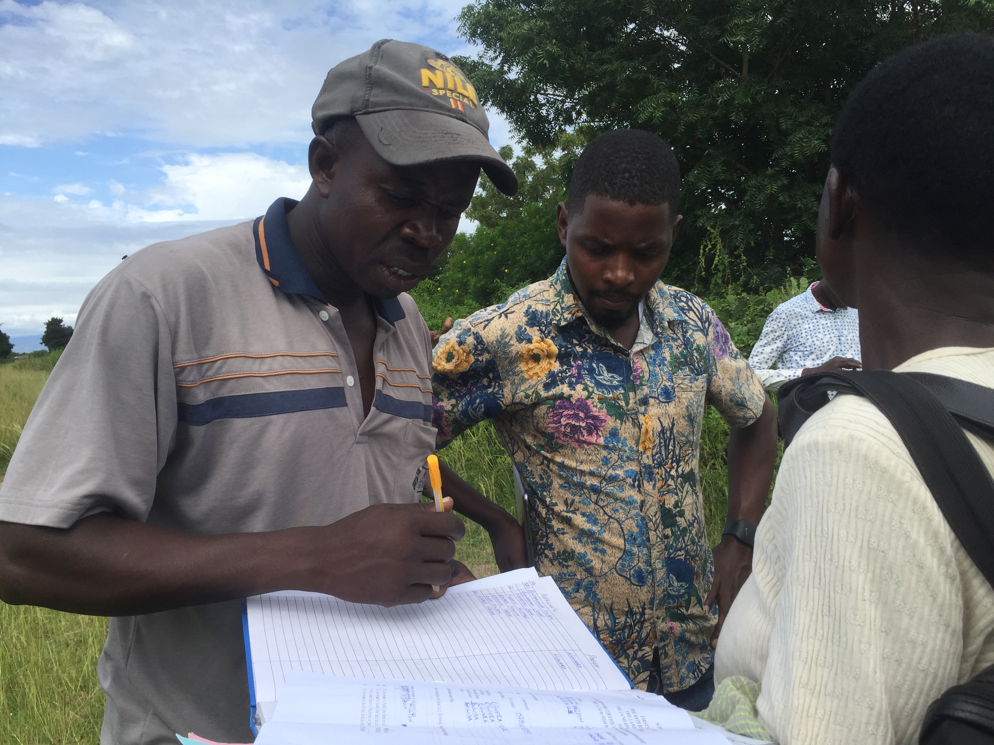
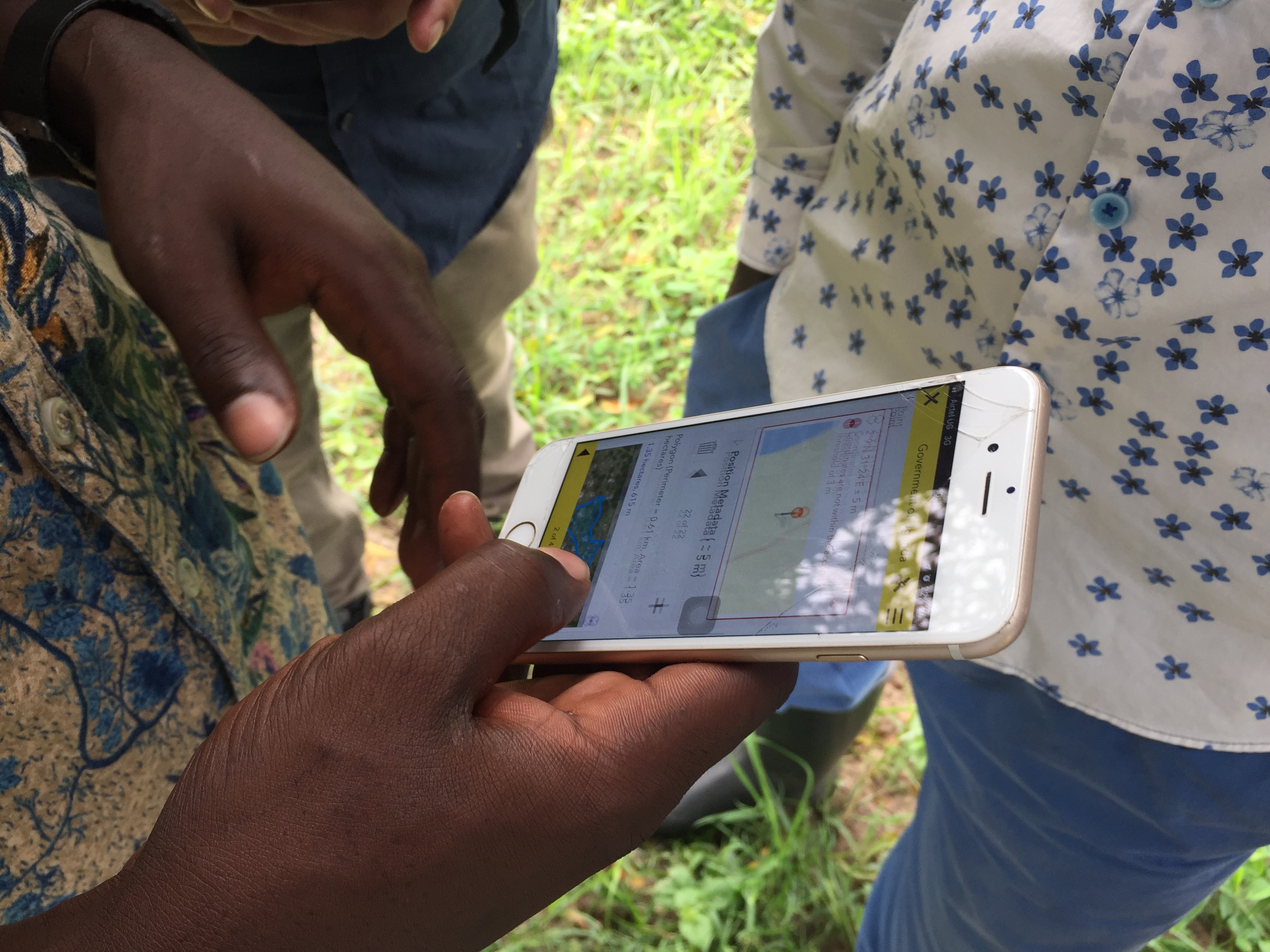
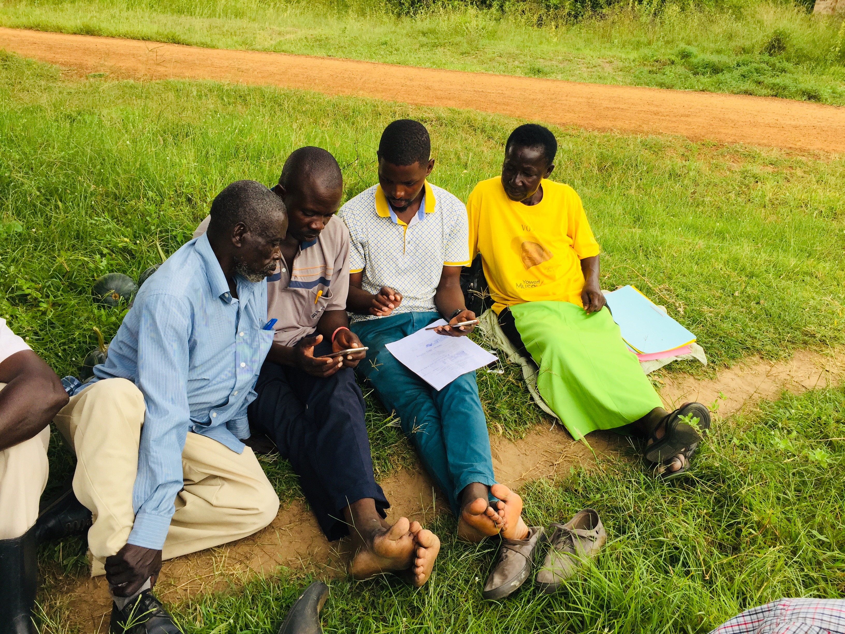
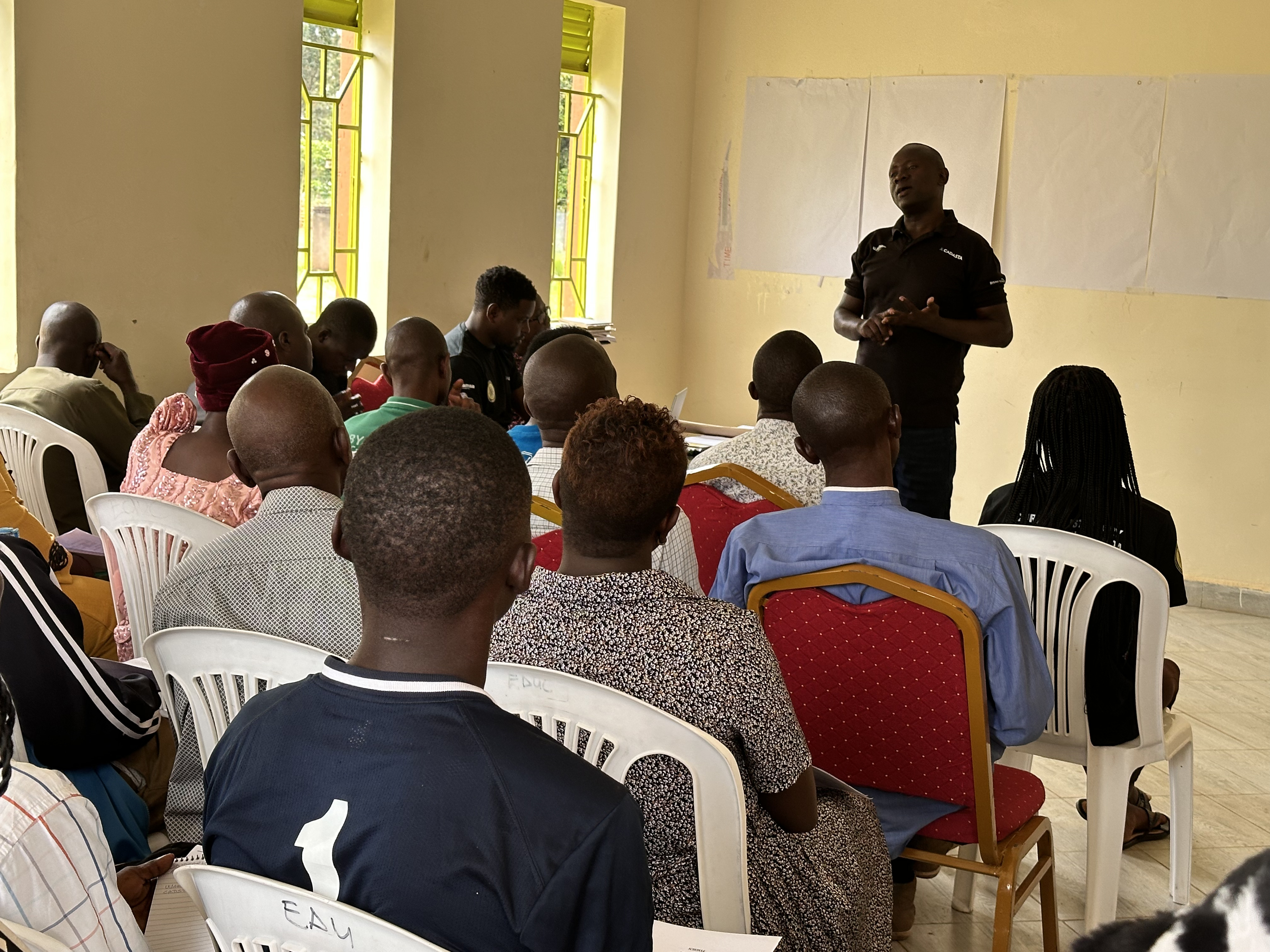
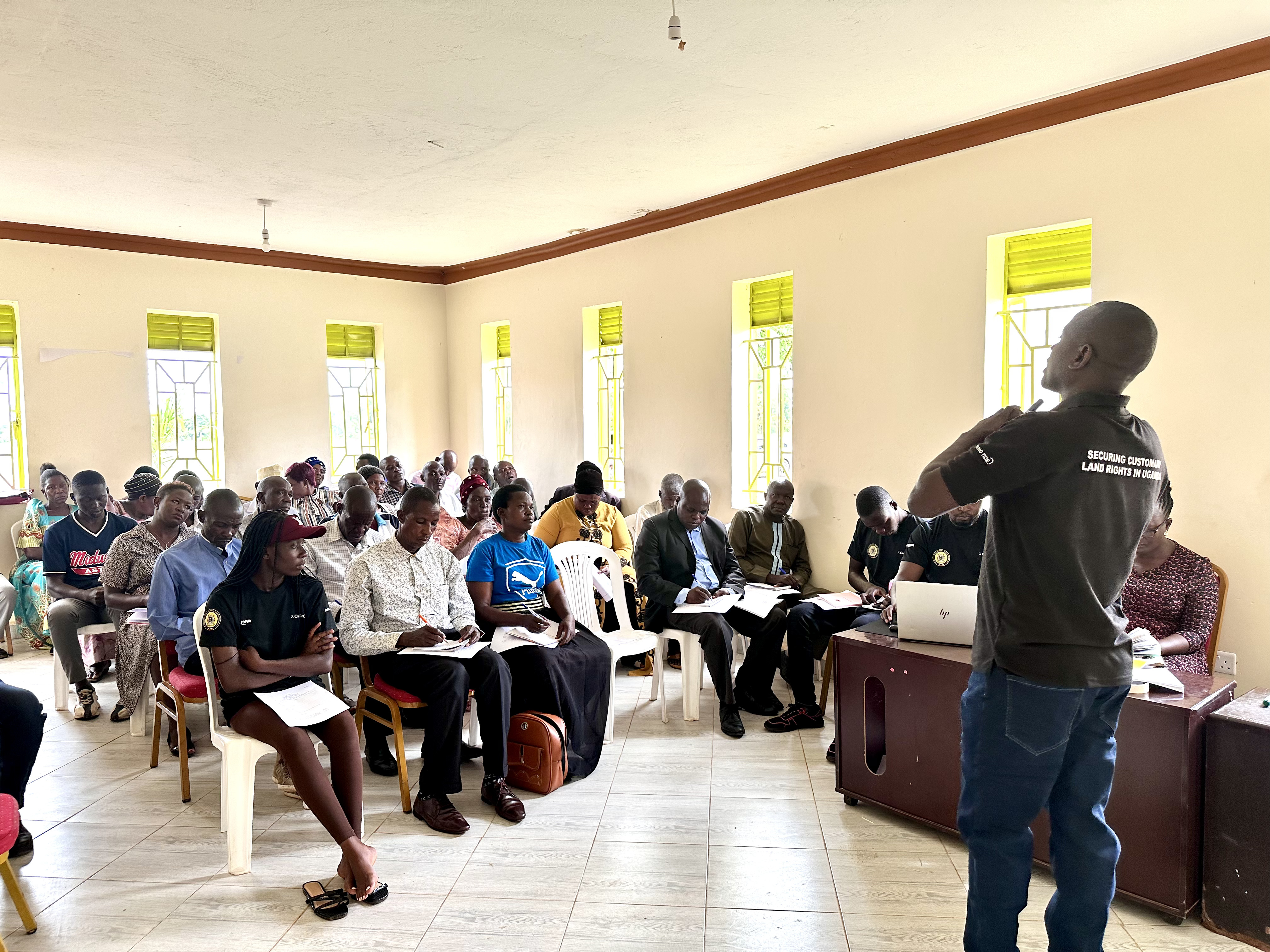
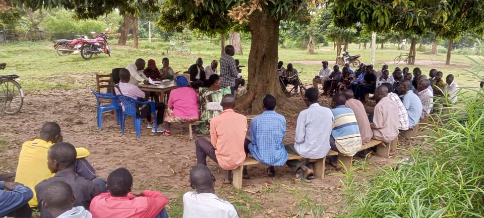
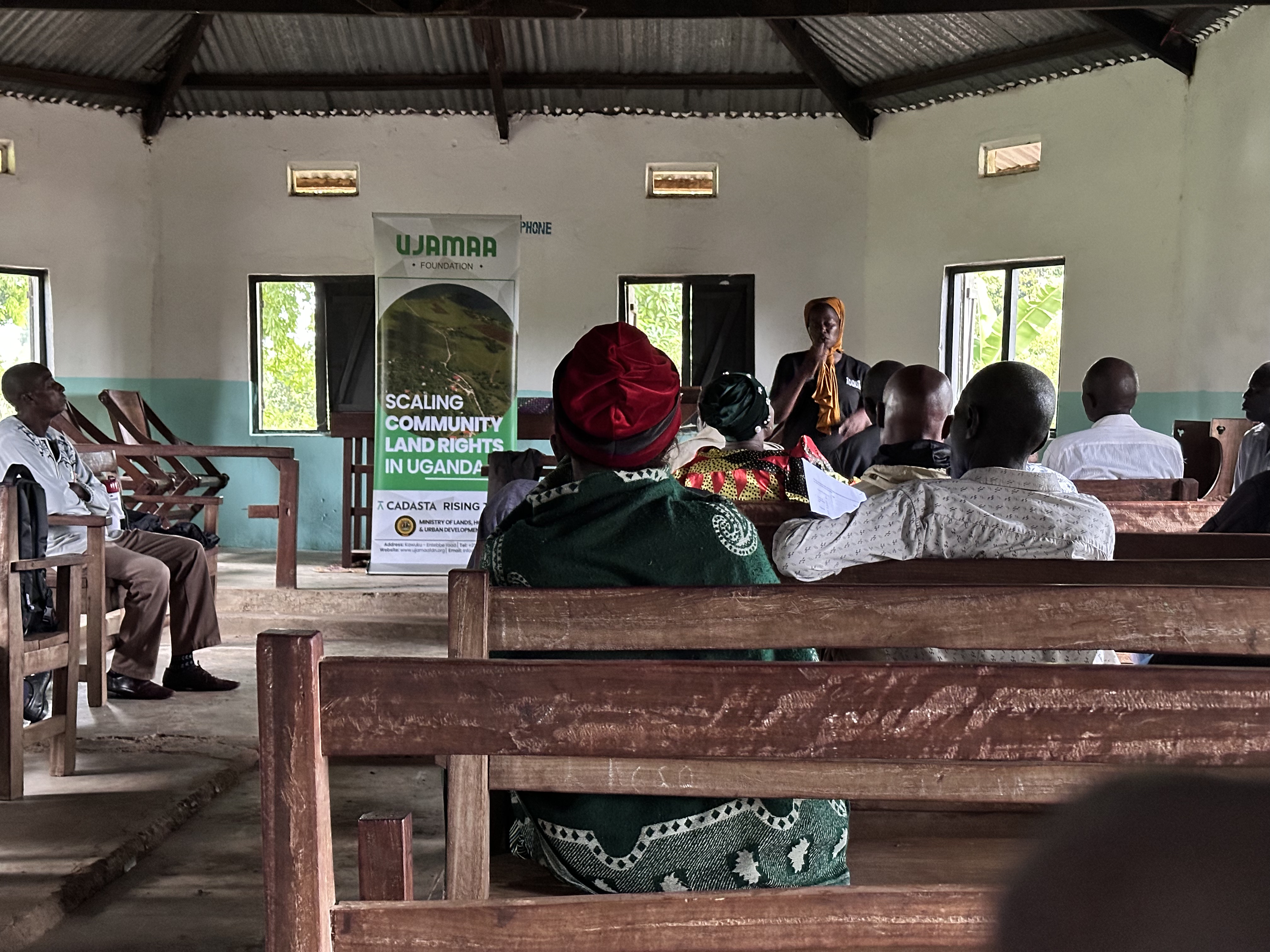
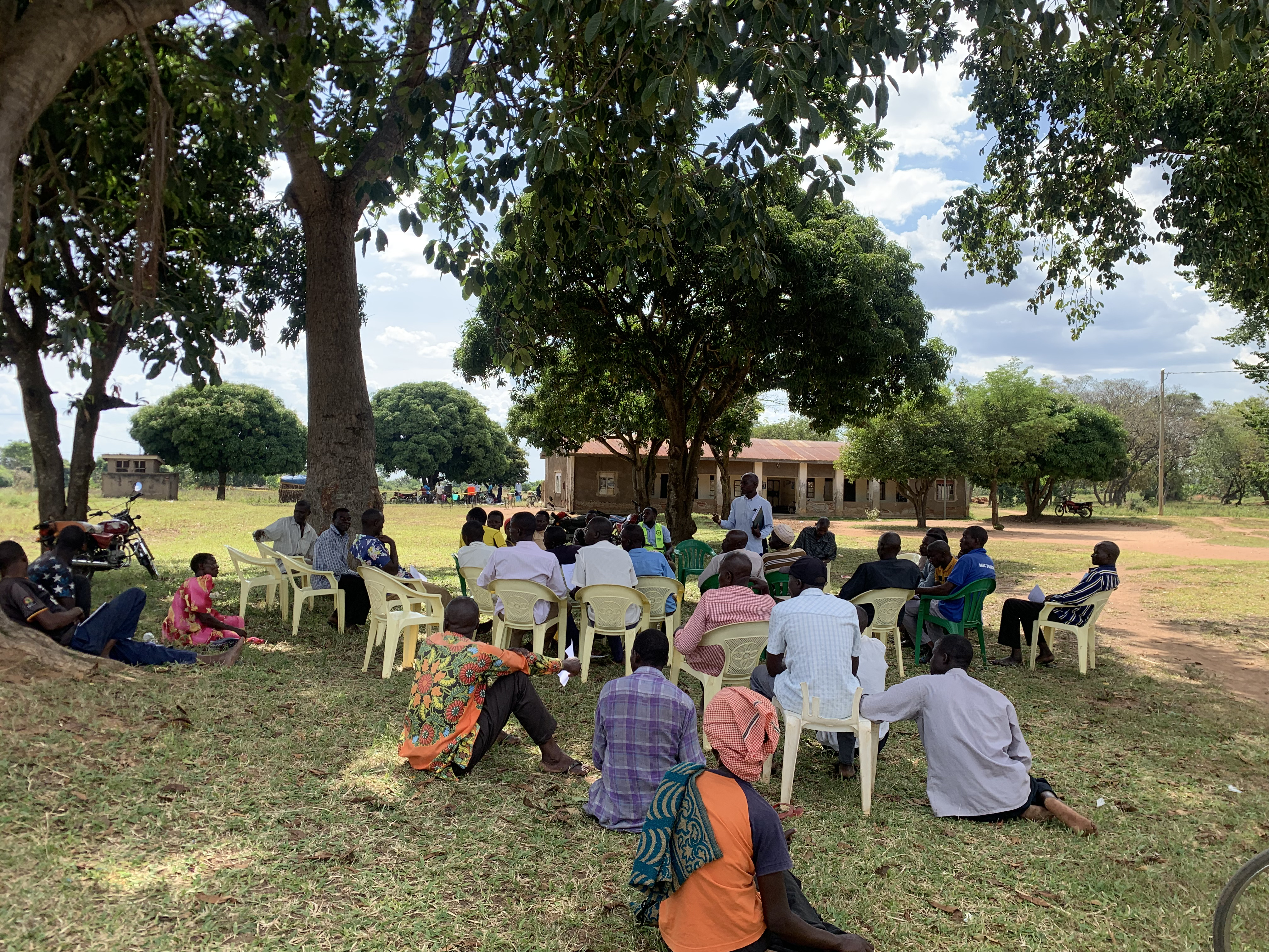
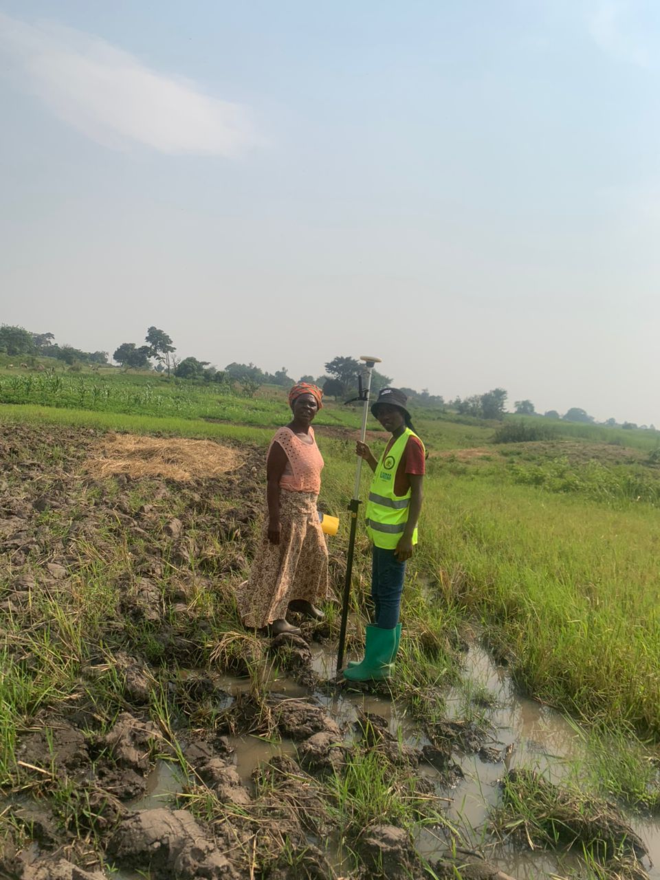
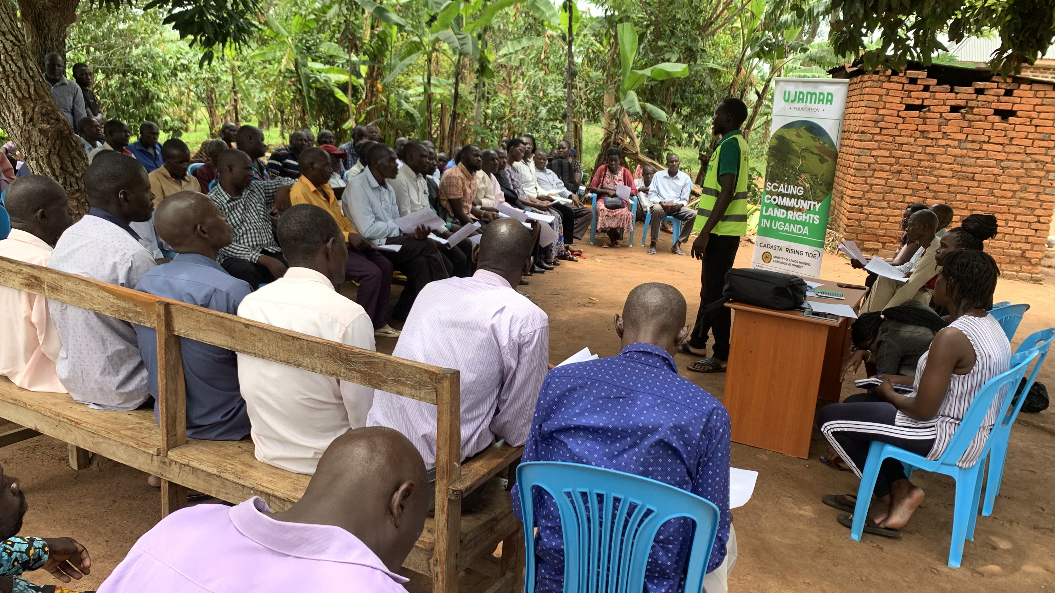
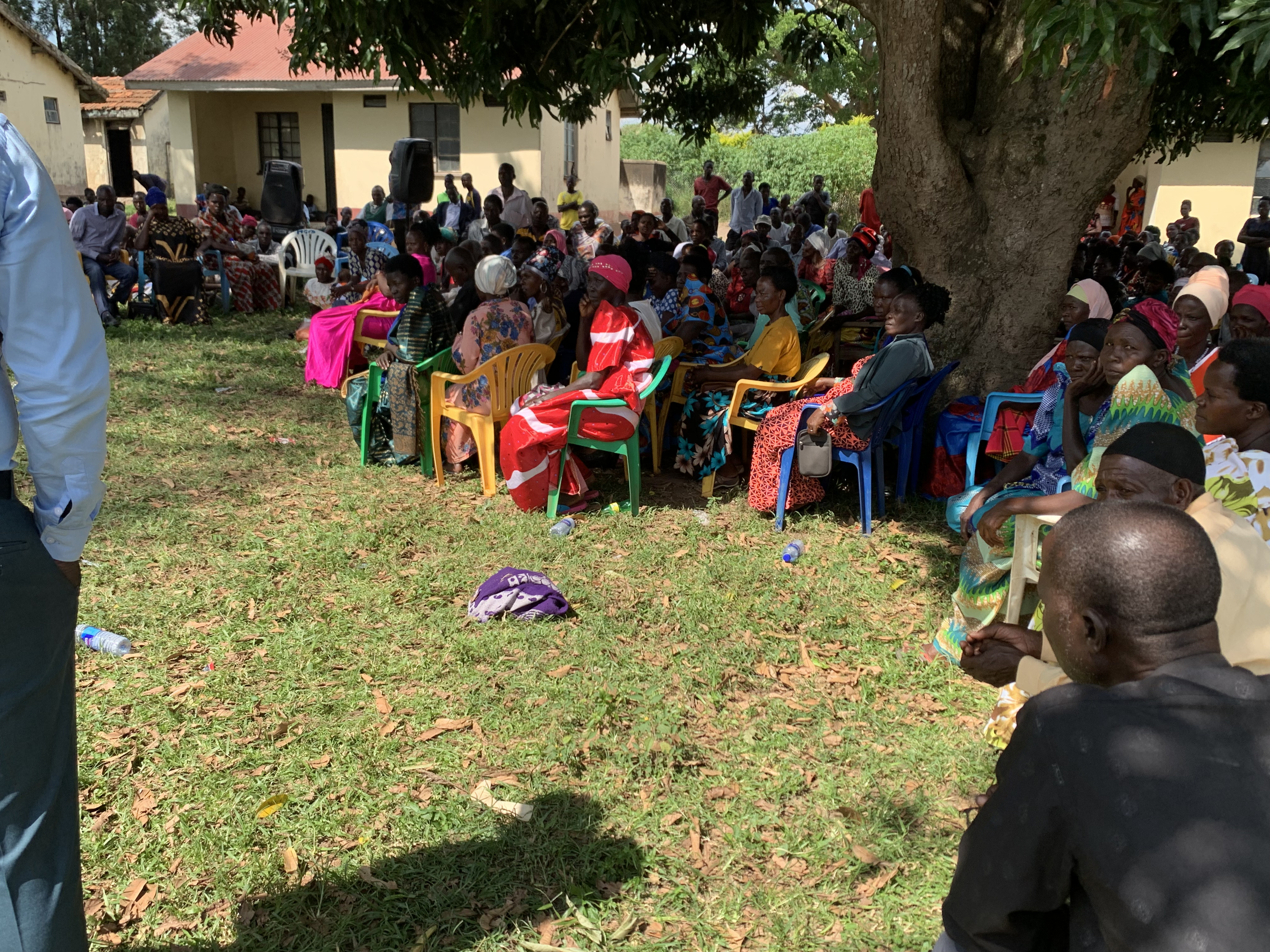
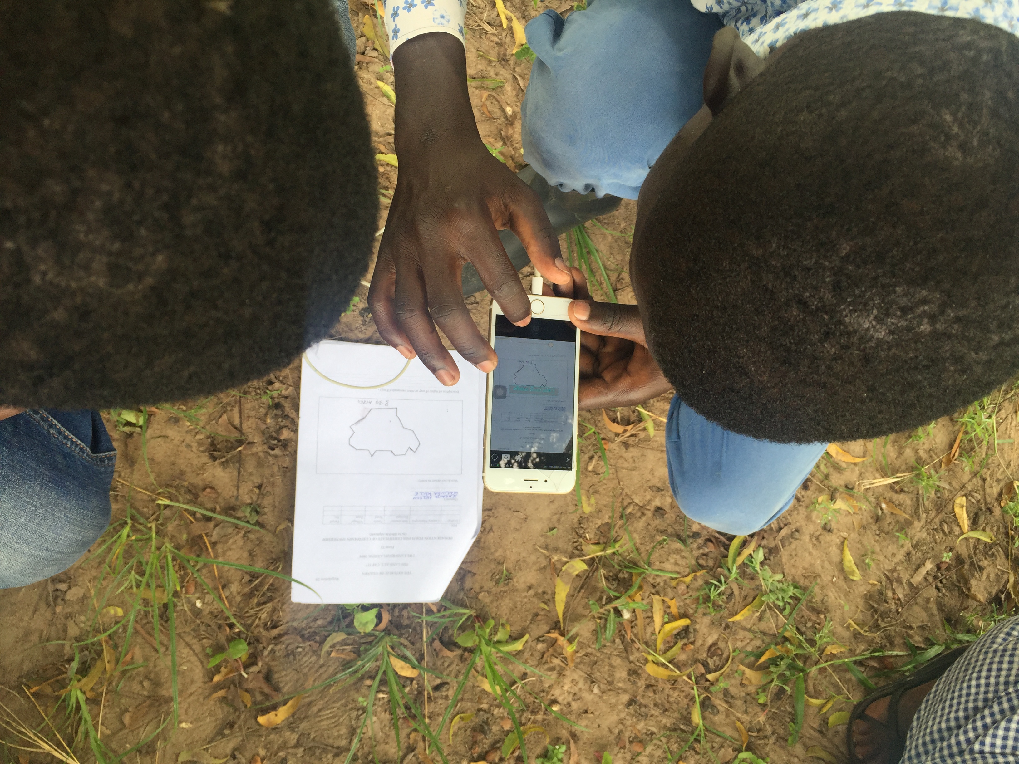
Scaling community land rights in Uganda
Empowering communities through secure land tenure documentation and mapping technologies to protect land rights and improve livelihoods.
Impact Achieved
Over 2,500 households documented, 85% increase in women's land ownership documentation
Technologies Used
Cadasta Foundation
2023 - 2027
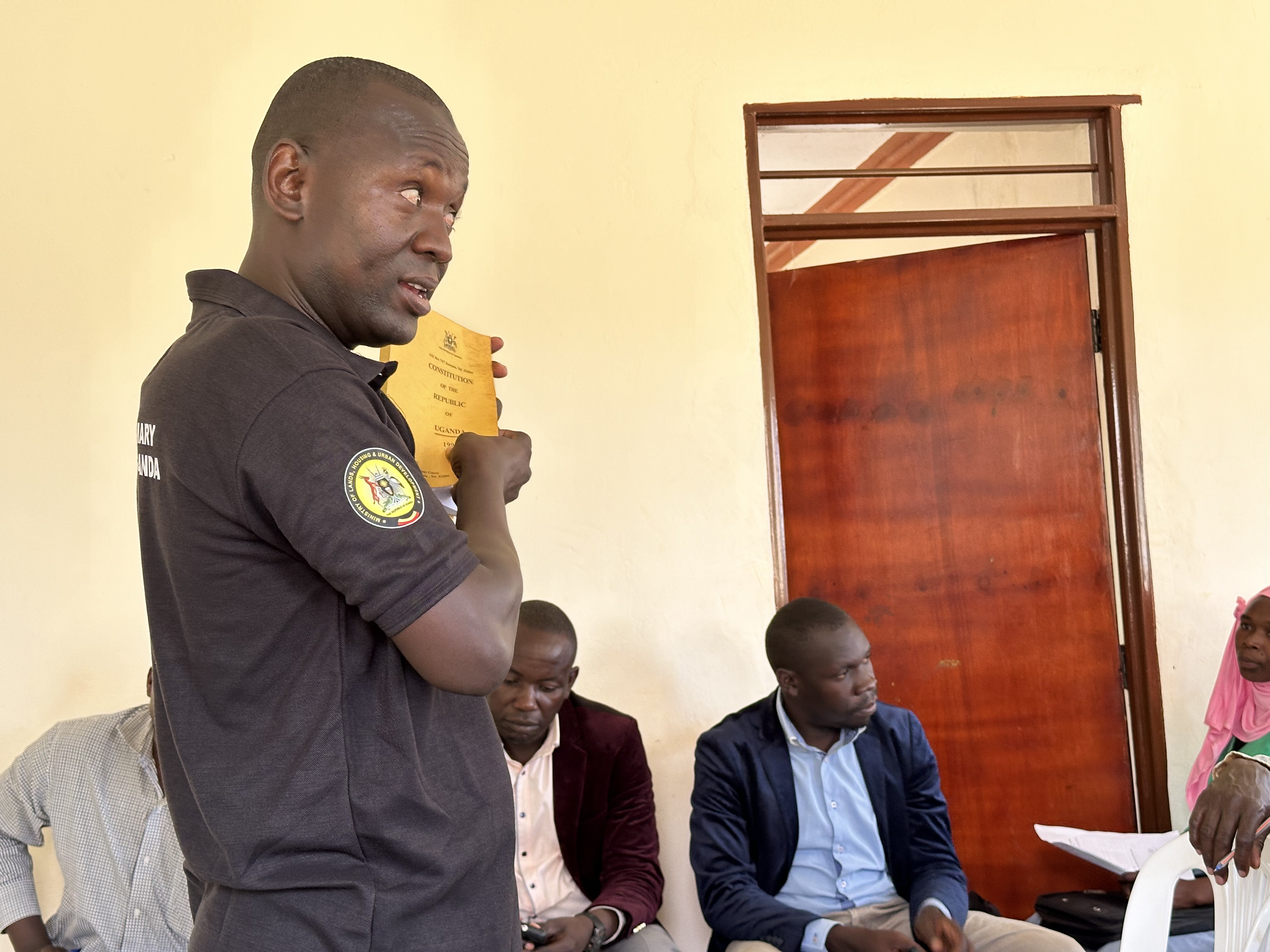
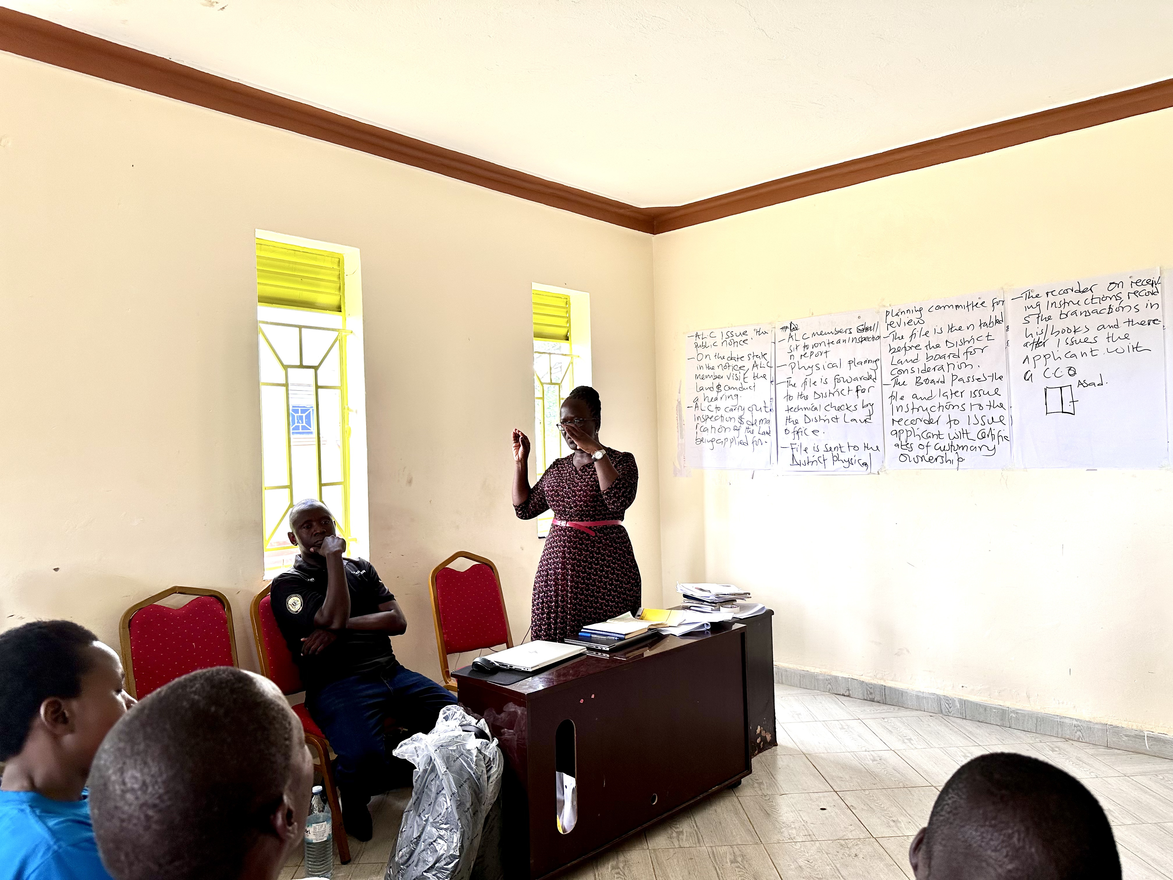
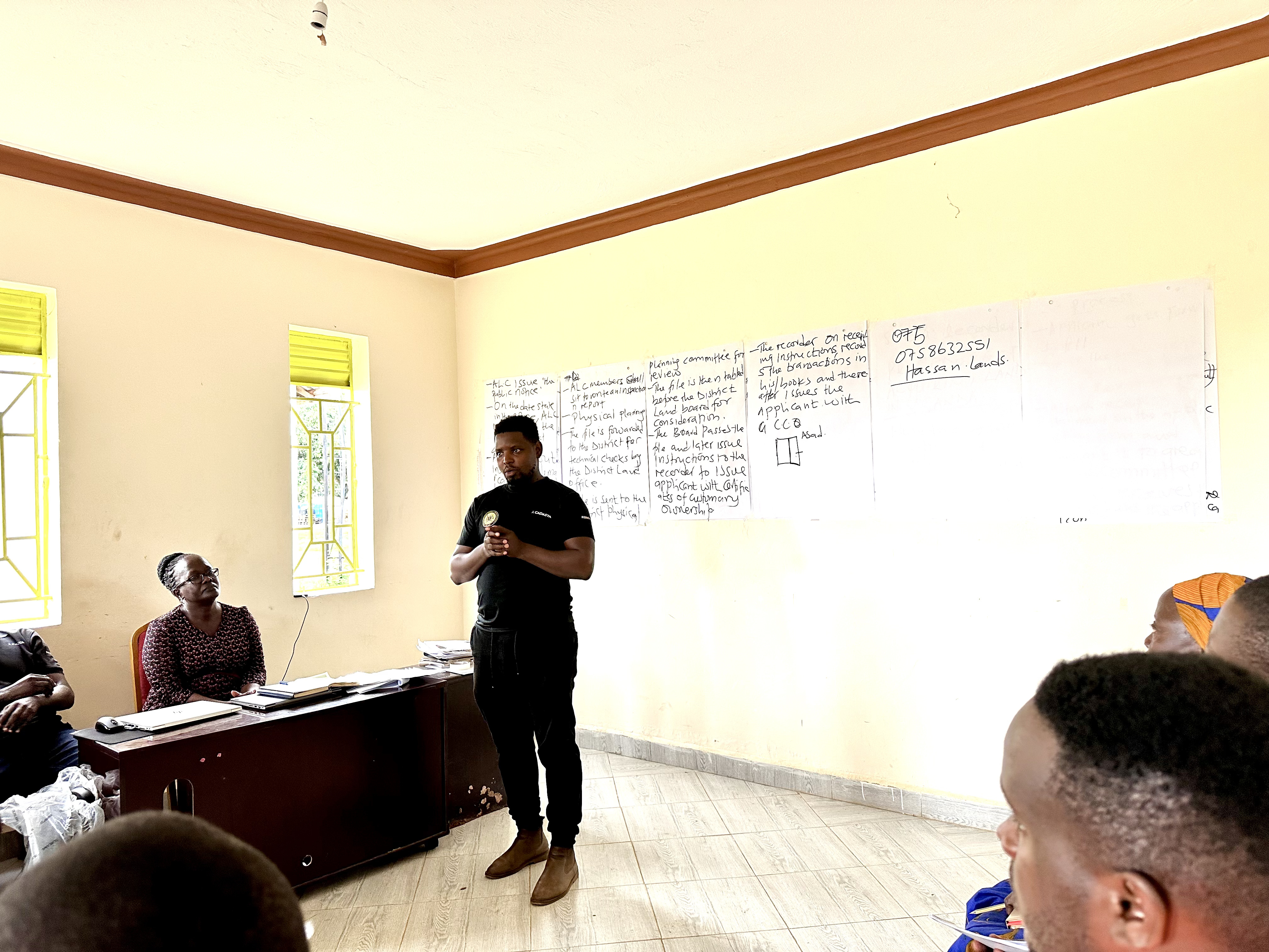
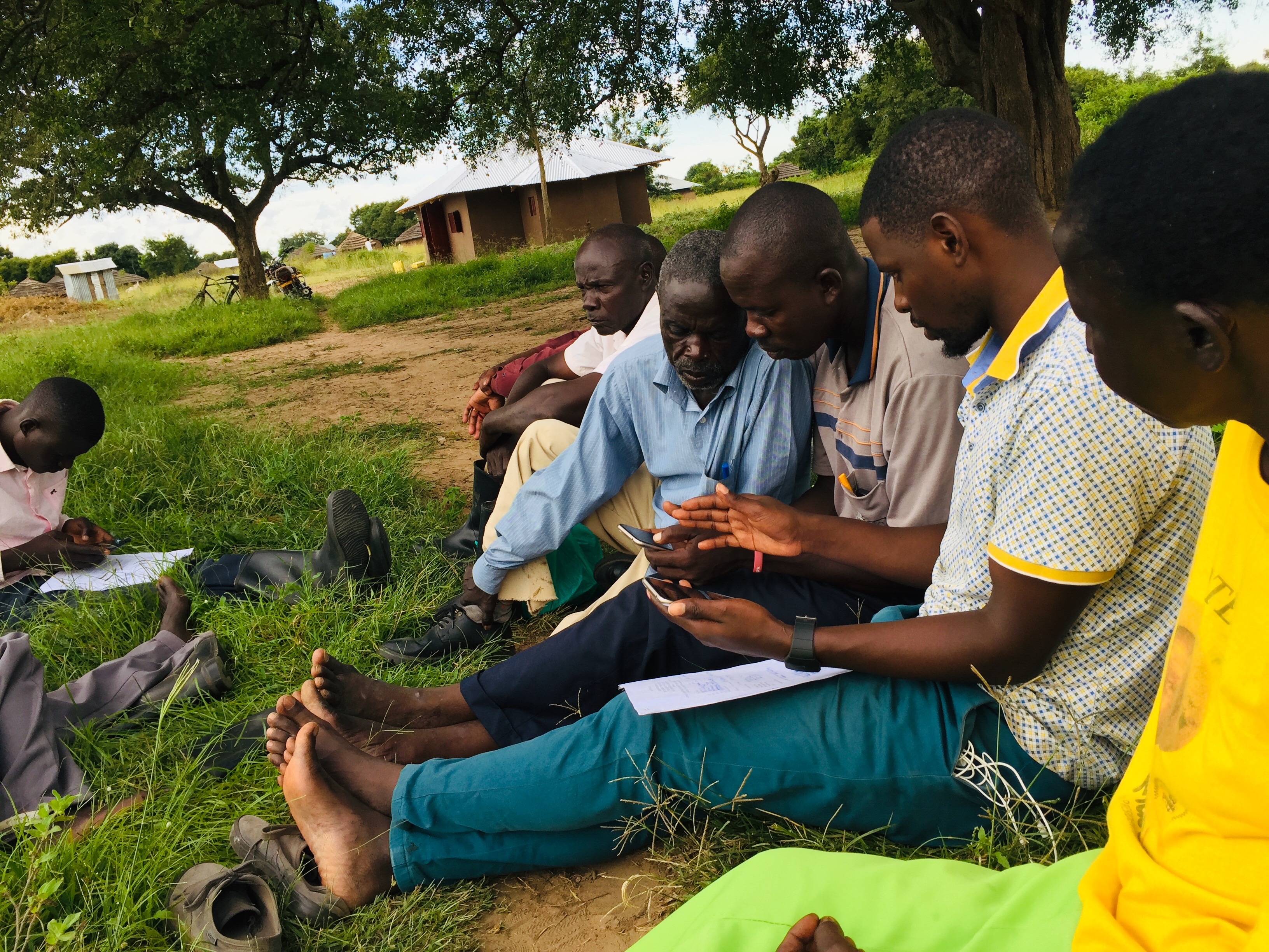
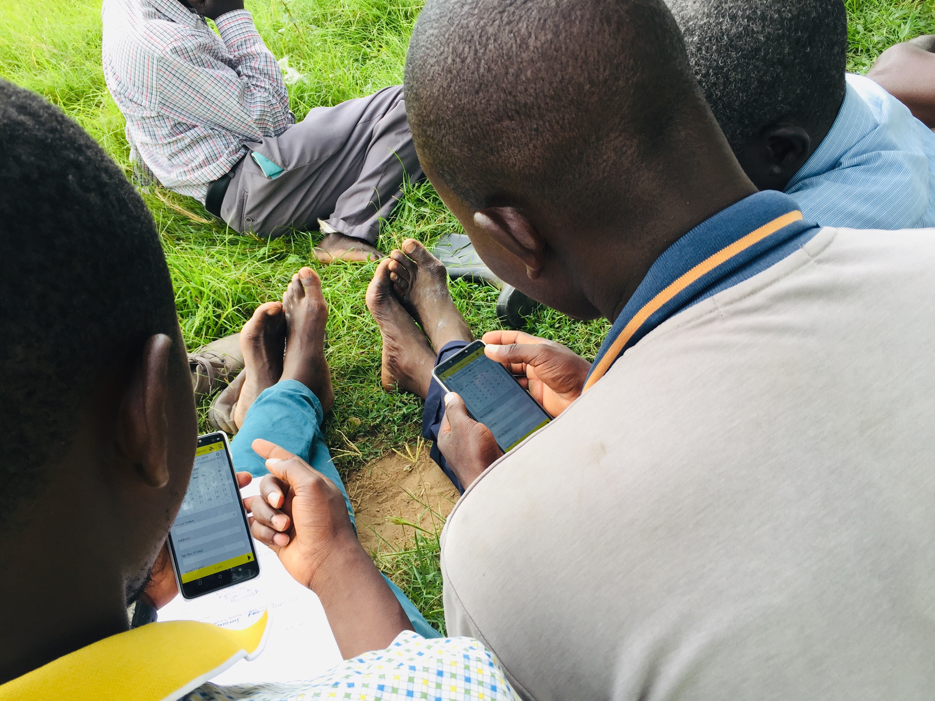
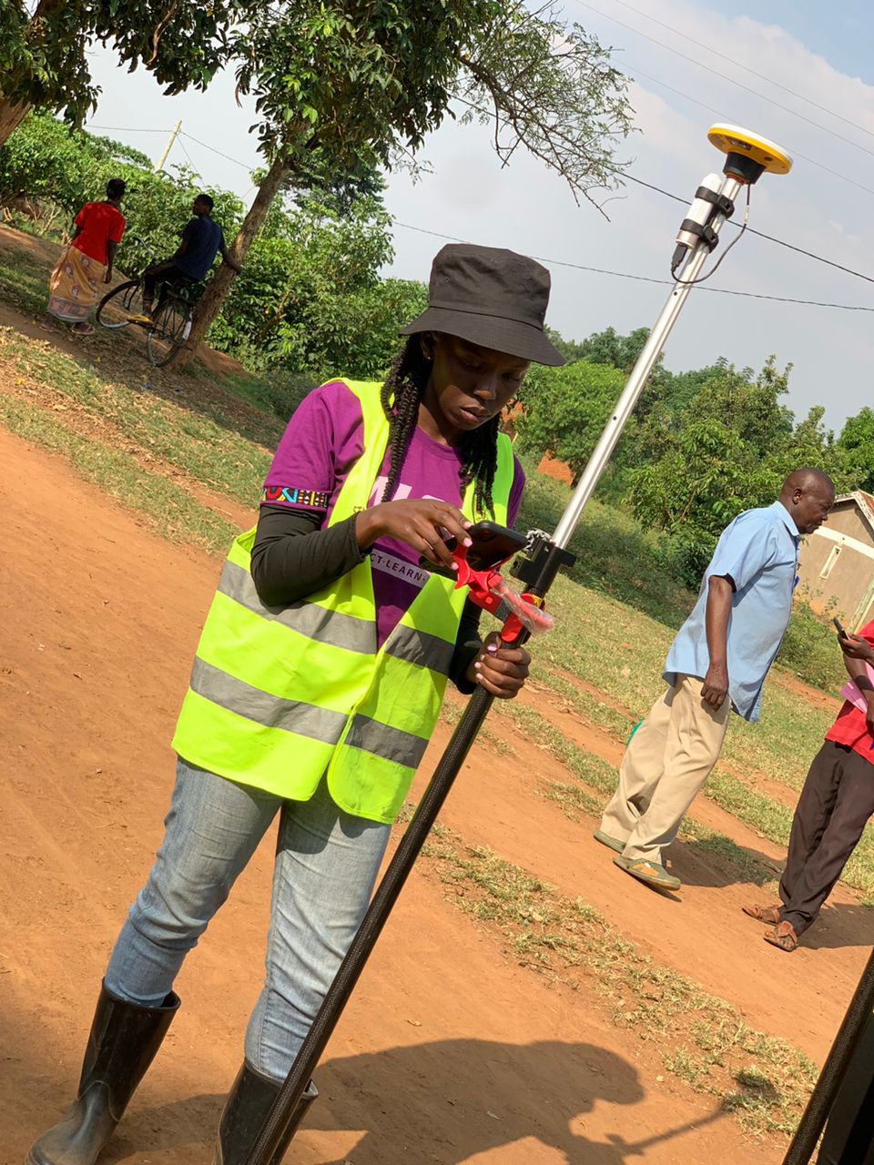
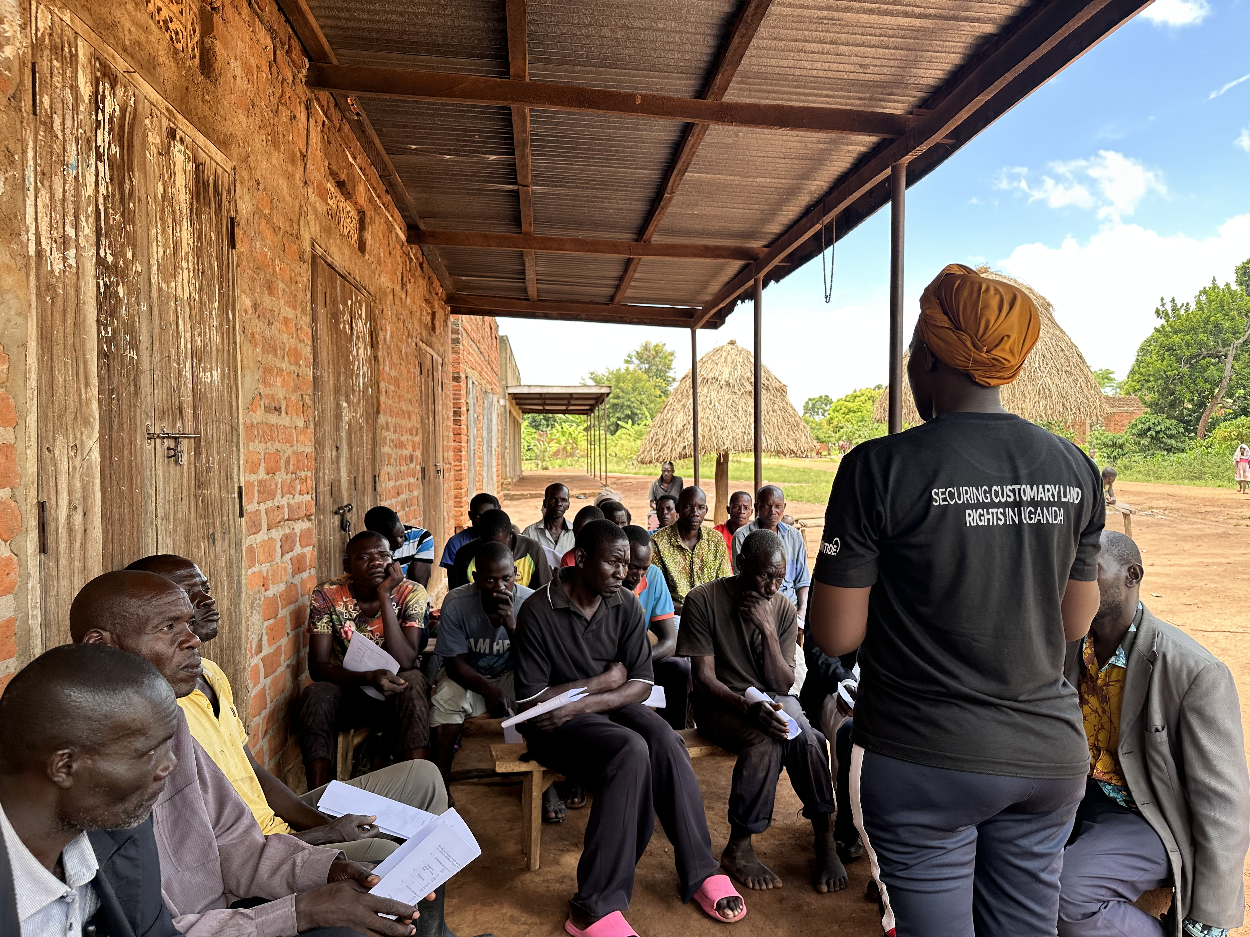
Mapping and registration of customary land
Mapping and registration of customary land in Agago District
Impact Achieved
300+ youth trained, 70% employment rate within 6 months of completion
Technologies Used
Tech Innovation Hub
2022 - 2024
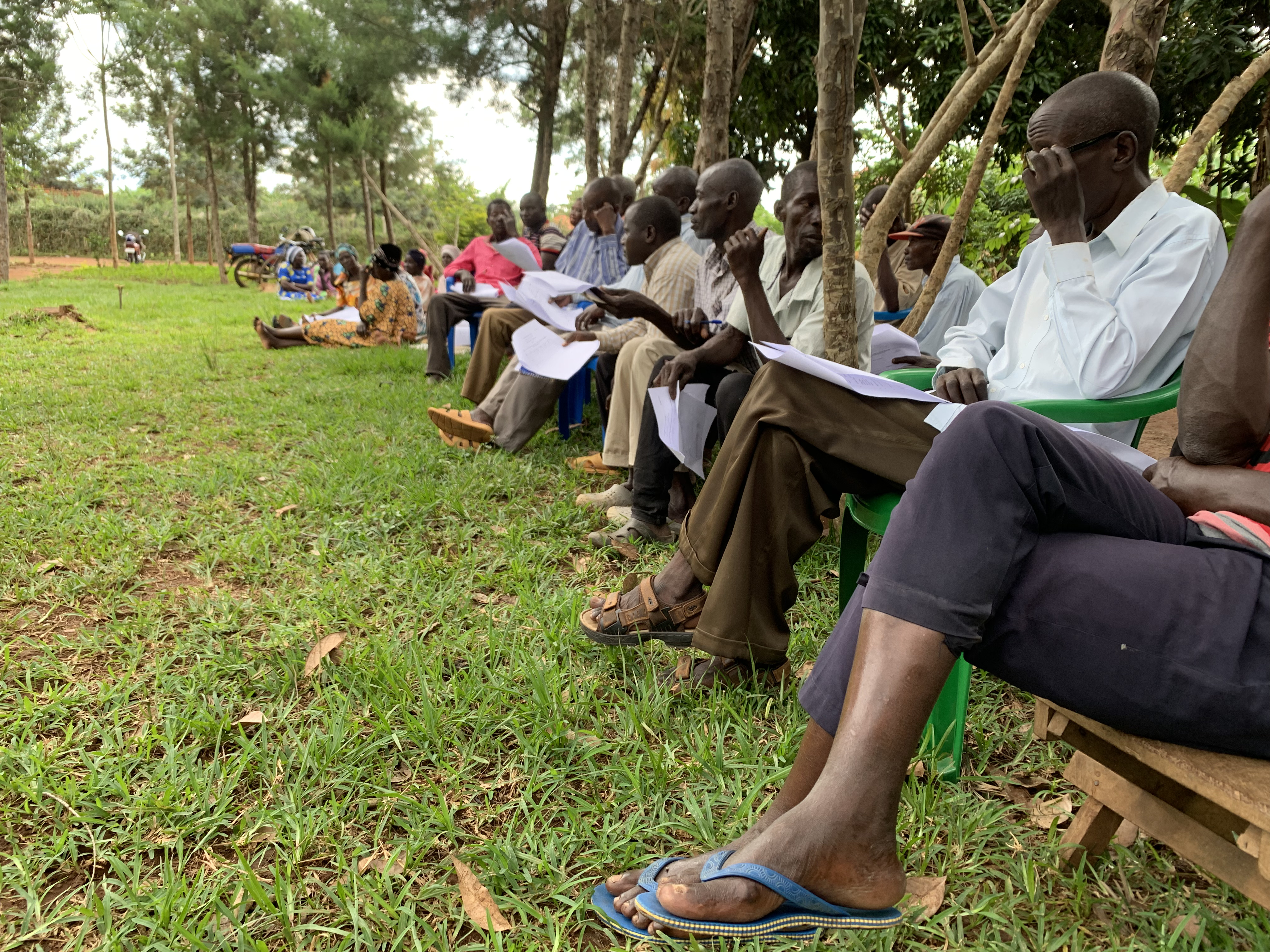
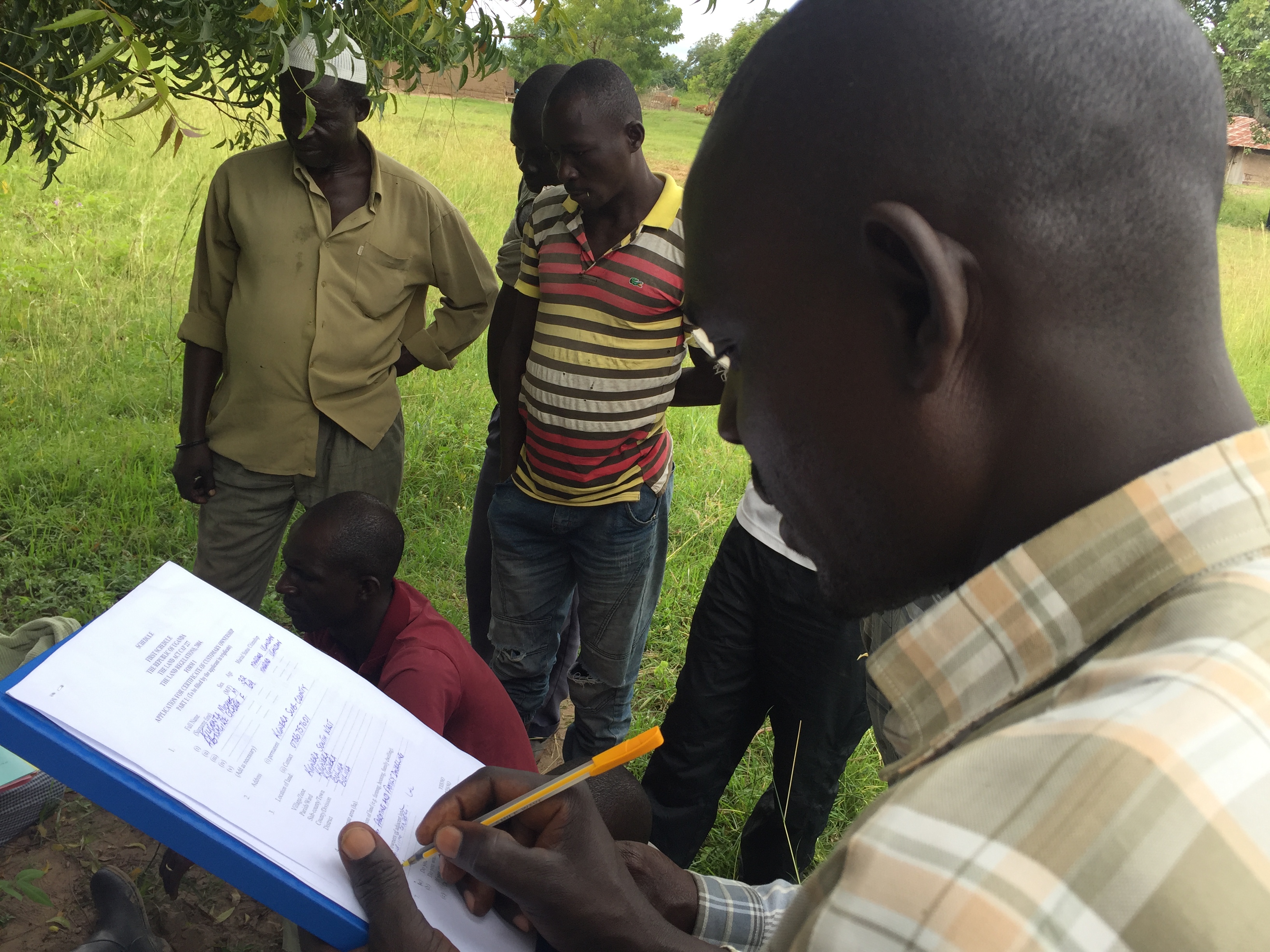
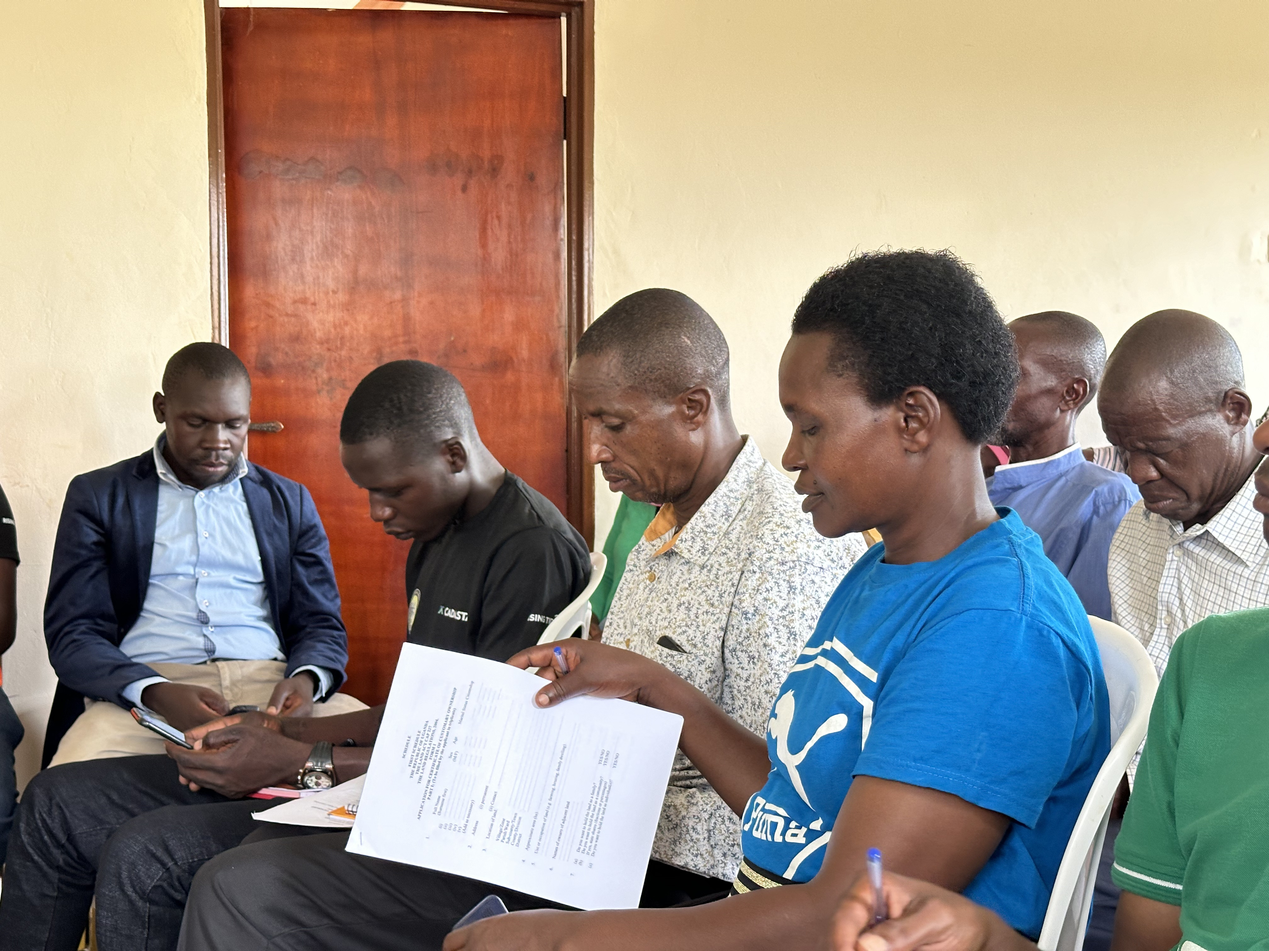
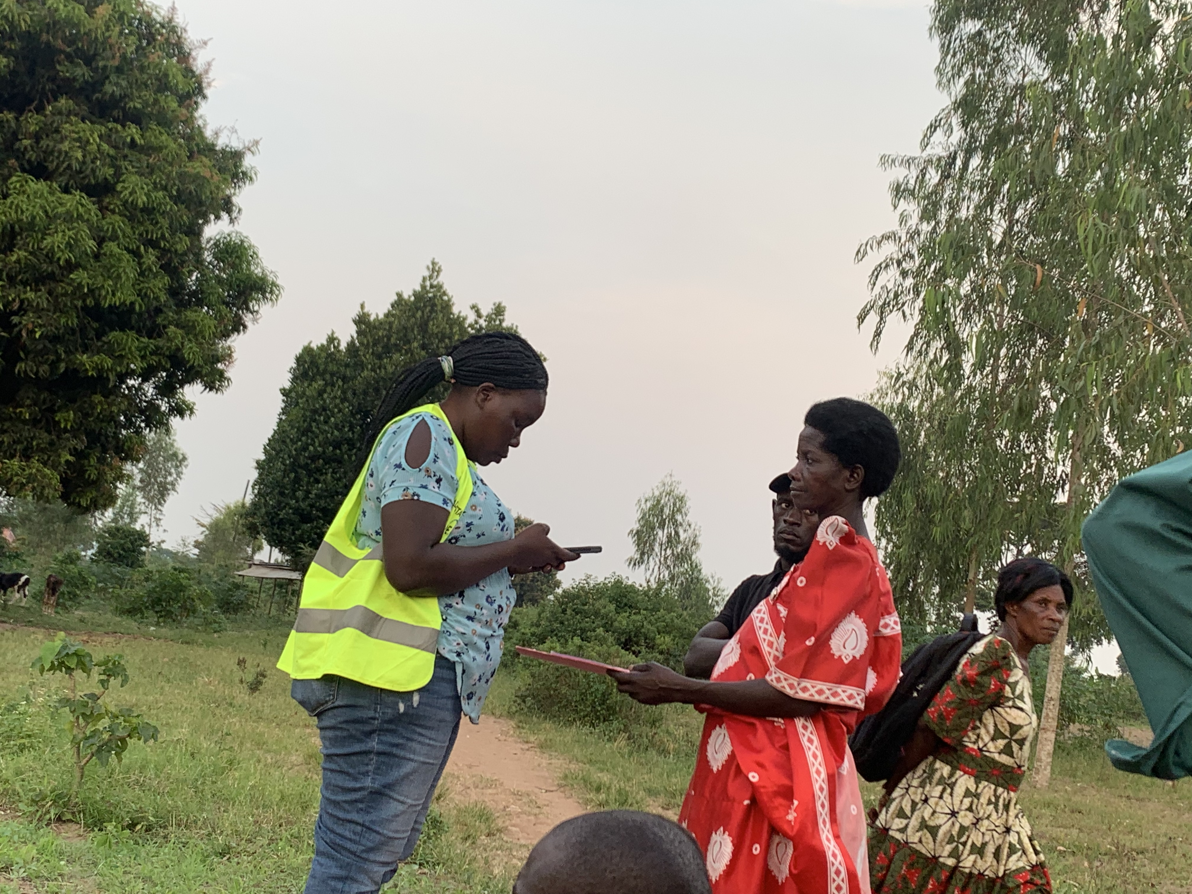
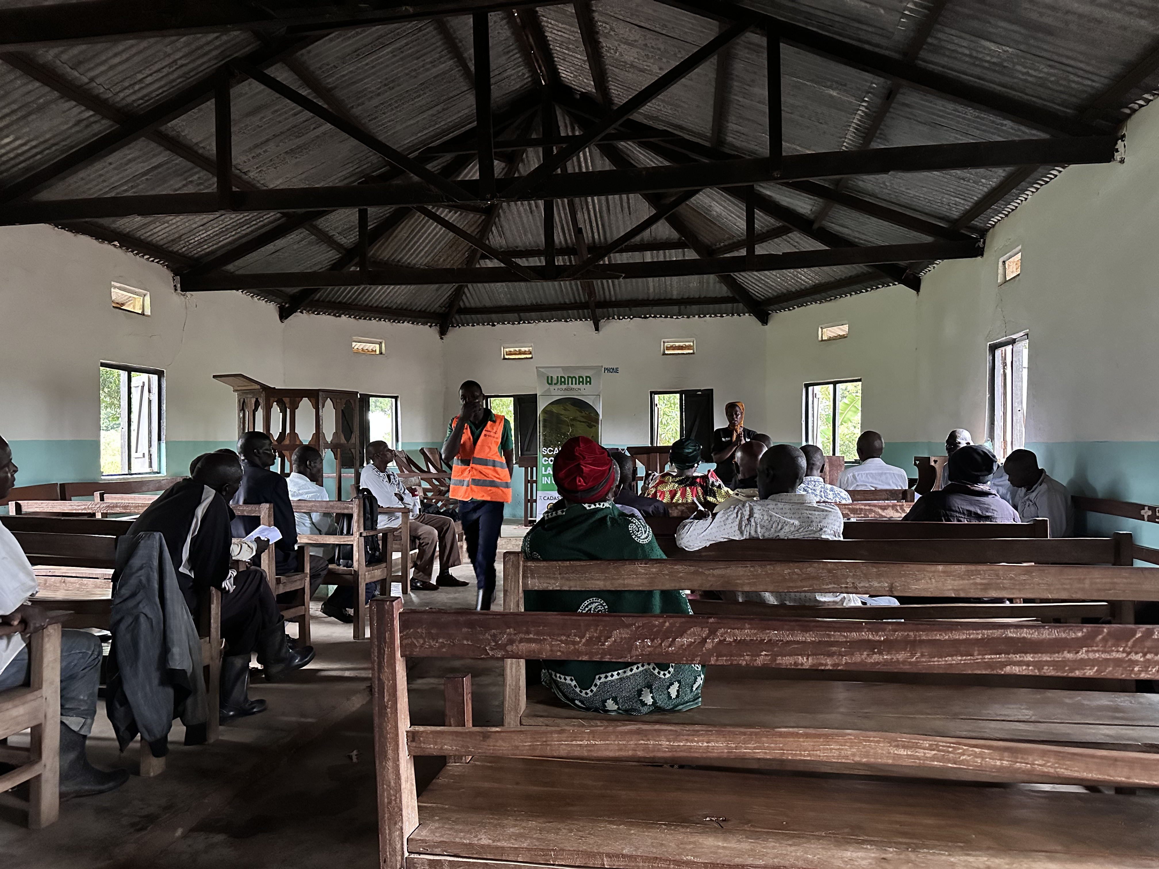
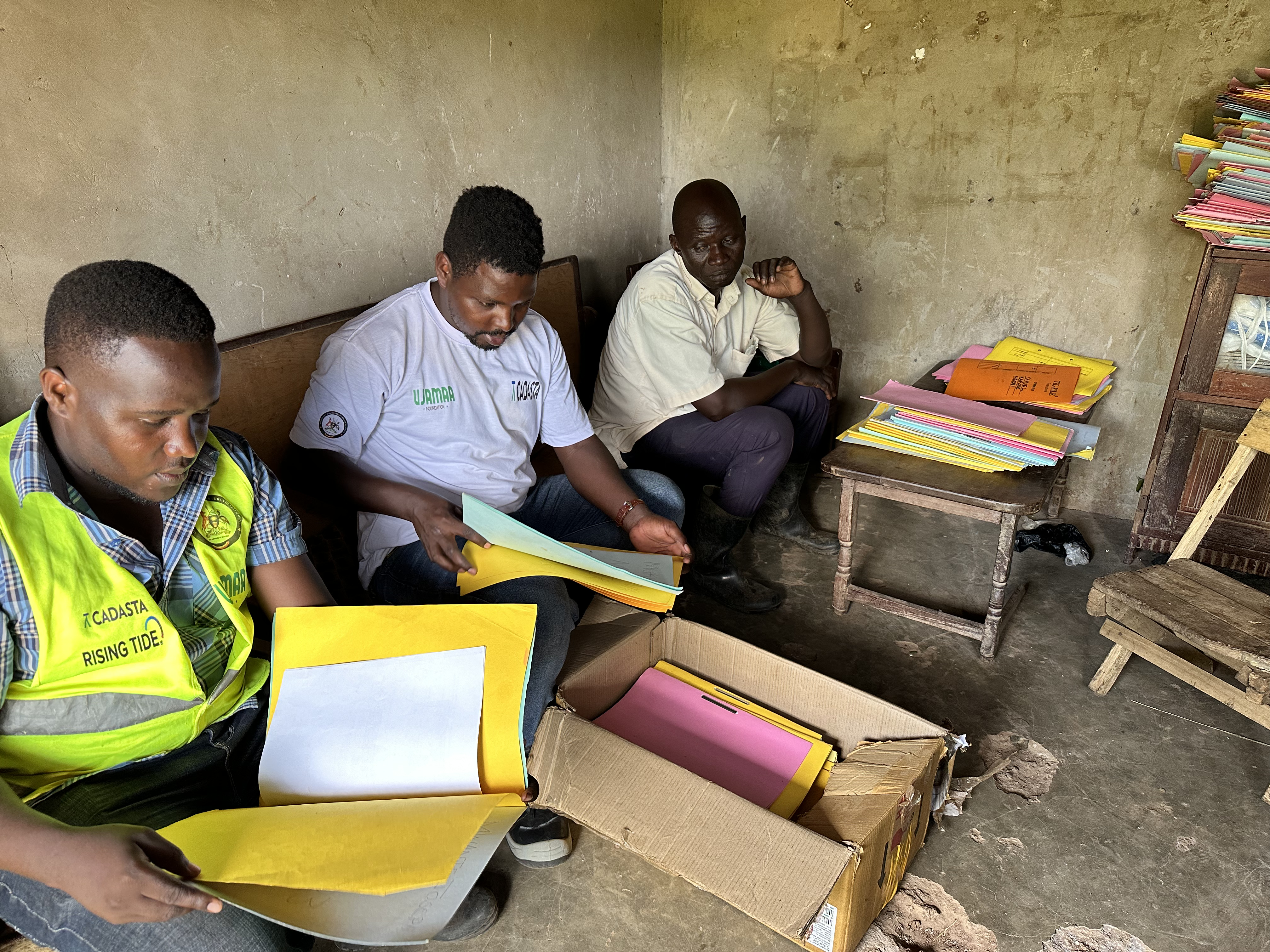
Kumi CCO Project
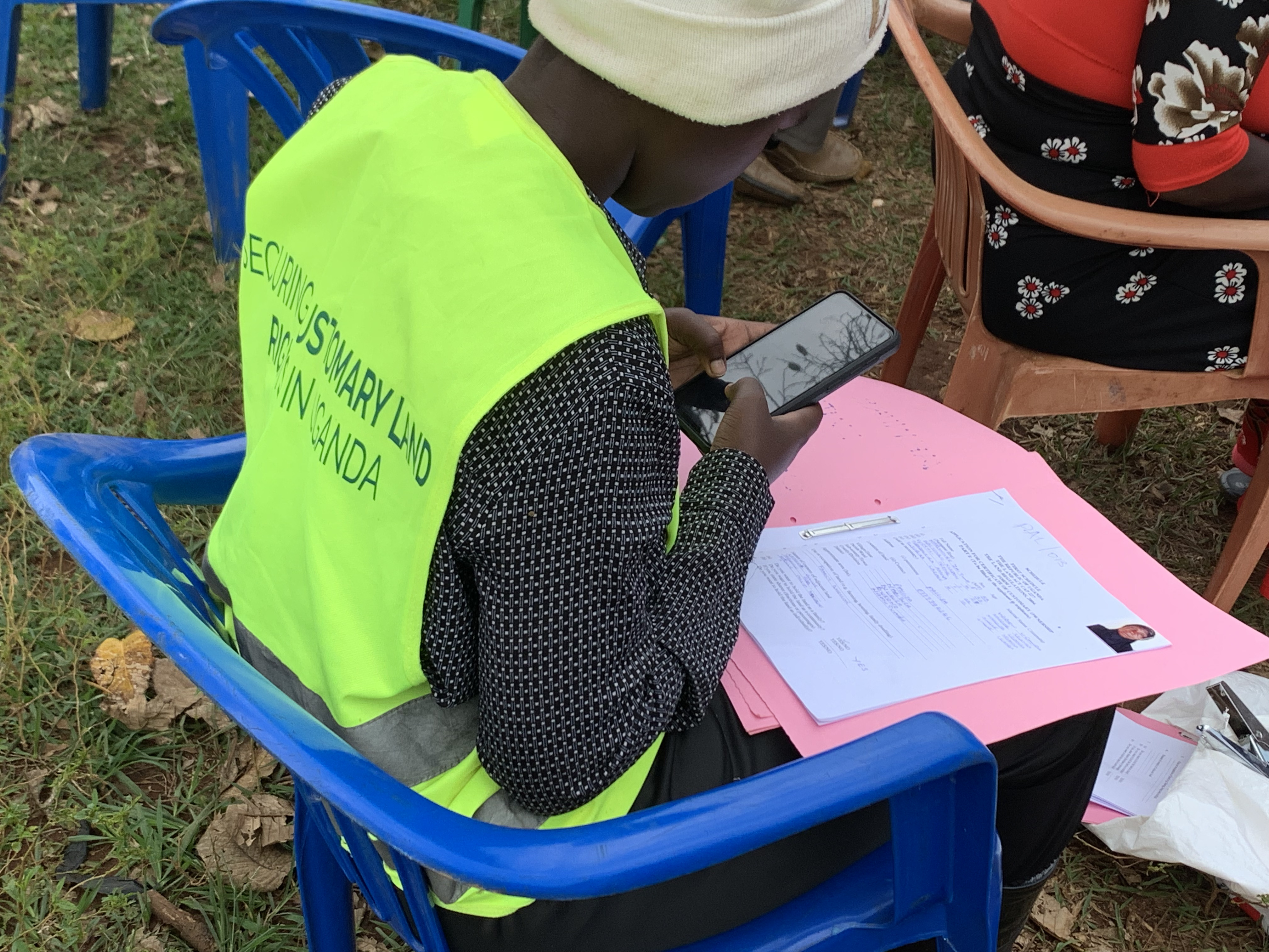
Ujamaa Foundation is supporting Kumi Local Government in the systematic documentation of customary land rights across six subcounties to promote tenure security, particularly in rural communities.
Impact Achieved
Over 200 households from 6 subcounties surveyed and mapped in preparation for issuance of Certificates of Customary Ownership (CCOs), contributing to peace, investment, and gender-inclusive land access.
Technologies Used
Habitat for Humanity
2024 - 2025
Women Spaces Project – Kamuli District
A pilot initiative supporting women's land rights through community land documentation, designed to empower women to own land beyond mere access and usage.
Impact Achieved
Over 300 parcels have been identified, surveyed and mapped with women's names either solely or jointly included, all in process of issuance of Customary Certificates of Ownership setting a precedent for gender equity in land ownership.
Technologies Used
Shelter and Settlement Alternatives (SSA)
2025 - Ongoing
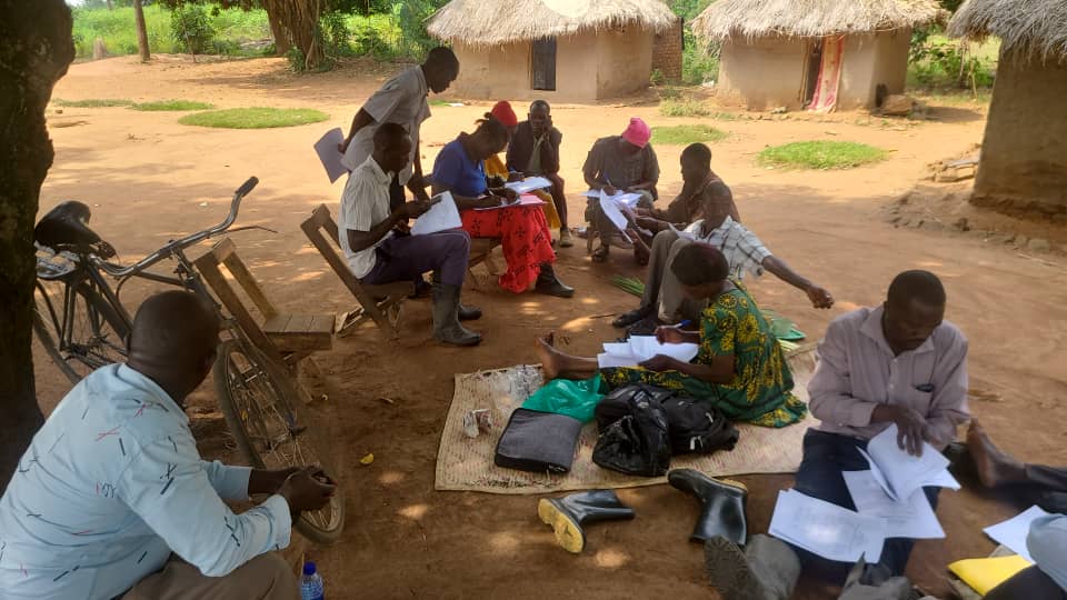
Customary Land Registration – Karamoja Region
Enhancing land tenure for pastoralist communities in Districts of Moroto, Amudat, Nabilatuk, Napak, Nakapiripiriti through Surveying, mapping and documentation of customary land across vast communal grazing areas.
Impact Achieved
Over 350,000 hectares of land mapped and Land ownership Documents issued for Communal Land Associations (CLAs), forming the basis for formal tenure security.
Technologies Used
Moroto Catholic Diocese Land Desk
2022 - 2024
PACLAC Project – Amuru District
Piloted a self-financed model for obtaining CCOs under the PELUM's PACLAC framework with a focus on local ownership and sustainability.
Impact Achieved
Successfully supported over 150 households in mapping and registration of land through a cost-sharing model.
Technologies Used
PELUM Uganda
2023 - 2023
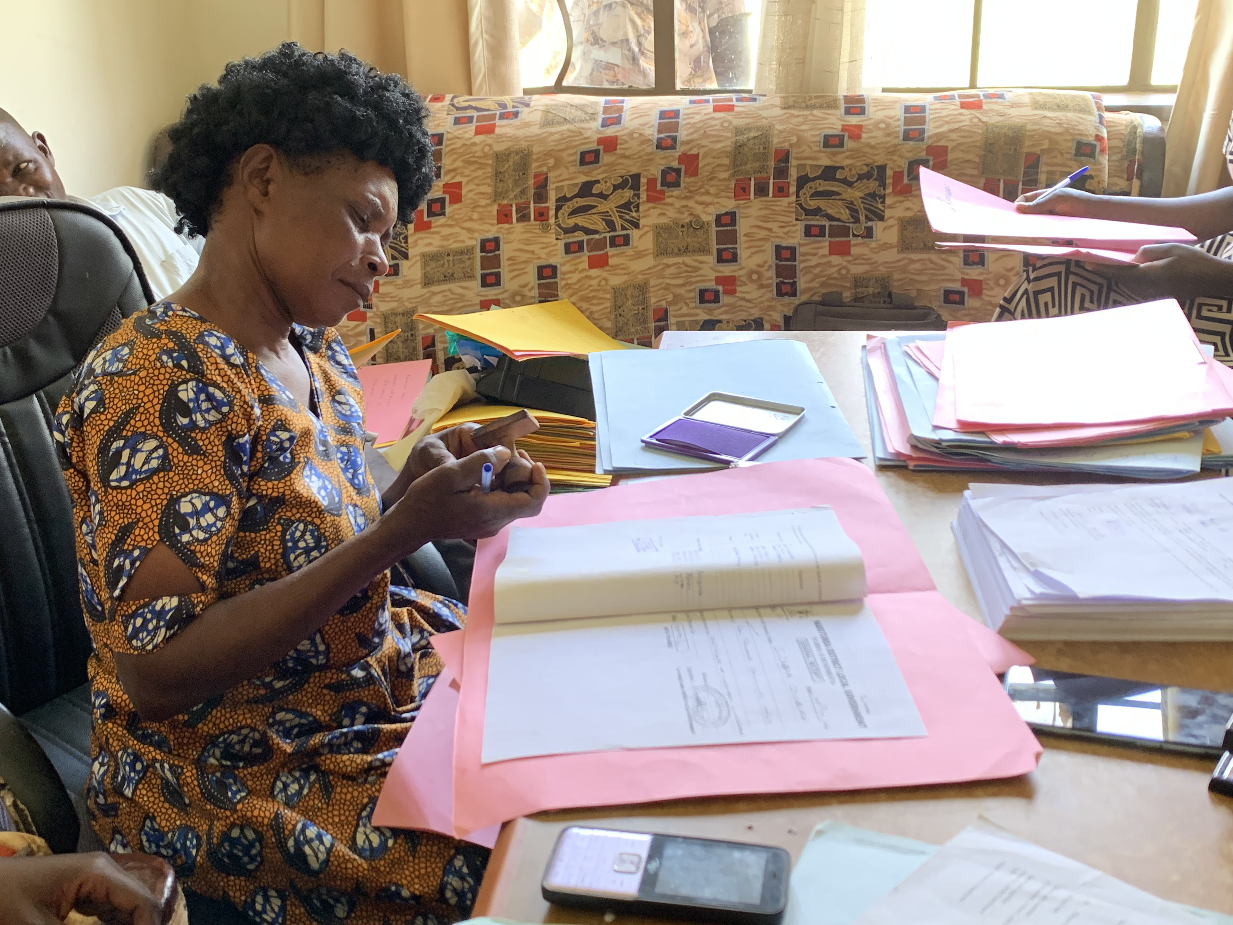
Data management and Processing
Supported ZOA with digital transformation of legacy land records by transitioning from typewritten to digitally printed CCOs for over 2,000 applicants.
Impact Achieved
Successfully printed and delivered over 2,000 CCOs; established a digital workflow for future registration efforts.
Technologies Used
Cadasta Foundation and ZOA International
2022 - 2023
Ready to Make an Impact?
Partner with us to create innovative solutions that empower communities and drive sustainable change.